Redfern House, Flat 20, Harrytown, Romiley, Stockport, SK6 3BS
About Redfern House
Redfern House is a two-bedroom property in Romiley, Stockport, Stockport (SK6 3BS). It has council tax band B. Other recorded features include a balcony.
Across 1996–2024, sale prices on this property compounded at 3% per year. Sold February 2024 for £90,000.
What this property has
Inside
- Bedrooms2
- Bathrooms1
Outside
- Communal gardenYes
- ParkingOff road
- BalconyYes
Building
- ConciergeYes
- RefurbishedYes
Everything you need to know about Redfern House
The true value, the hidden risks and the full sale history, in one report.
Pick your report · every report is £14.99
One time fee only - money back guarantee

The data behind every report


Energy performance
No EPC on record
This property doesn't have an Energy Performance Certificate yet. An EPC is required to sell or let — and unlocks our automated valuation.
Get a survey for this property
Level 2 HomeBuyer Report
We've checked 10 risk factors against the available data for this property and believe a Level 2 HomeBuyer Report could be a suitable option for you.
Planning history
Redfern House has no planning applications on record.
But the area is active
1 notable application nearby — larger schemes and conversions that could reshape the street. The report maps them all.
Sales history & valuation
Sale price has at least doubled since 1996.
£90,000
Growth on file: 3.0% per year over 28 years.
Sales timeline
28 February 2024Most recent
£90,000
+13.9%over 15 years24 April 2008
£79,000
+97.5%over 11 years28 July 1996
£40,000
Median price across the last 5 sales in SK6 3BS: £69,950 (2024–2023).
Nearby sales in SK6 3BS
Redfern House, Flat 16, Harrytown, Romiley, Stockport, SK6 3BS
Sold Nov 2024
£60,00027b, Harrytown, Romiley, Stockport, SK6 3BS
Sold Jul 2024
£295,000Redfern House, Flat 34, Harrytown, Romiley, Stockport, SK6 3BS
Sold Mar 2024
£53,000Redfern House, Flat 32, Harrytown, Romiley, Stockport, SK6 3BS
Sold Feb 2024
£69,950Redfern House, Flat 3, Harrytown, Romiley, Stockport, SK6 3BS
Sold May 2023
£70,000
Everything you need to know about Redfern House
The true value, the hidden risks and the full sale history, in one report.
Pick your report · every report is £14.99
One time fee only - money back guarantee
The data behind every report
Similar properties nearby
Davies Court, Apartment 21, Metcalfe Drive, Romiley
SK6 3BG
Davies Court, Apartment 3, Metcalfe Drive, Romiley
SK6 3BG
Davies Court, Apartment 30, Metcalfe Drive, Romiley
SK6 3BG
Davies Court, Apartment 24, Metcalfe Drive, Romiley
SK6 3BG
Davies Court, Apartment 37, Metcalfe Drive, Romiley
SK6 3BG
Davies Court, Apartment 29, Metcalfe Drive, Romiley
SK6 3BG
Davies Court, Apartment 20, Metcalfe Drive, Romiley
SK6 3BG
Davies Court, Apartment 17, Metcalfe Drive, Romiley
SK6 3BG
The neighbourhood at a glance
Rail-style transport is unusually close for this postcode.
Crime
1/mo
Steady year-on-year across the wider district.
Nearest stop
0.1 km
Highfield Avenue — bus stop.
Closest school
0.2 km
St Christopher's Catholic Primary School, a Voluntary Academy. 23 schools nearby.
Go deeper on the local area
A Local Area report breaks down crime, transport links, schools and air quality in depth.
Road noise across the postcode
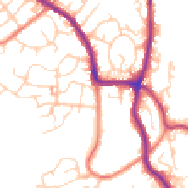
Daytime· 07:00 – 23:00
51.4dB
Night-time· 23:00 – 07:00
41.5dB