22 Ashton Street, Woodley, Stockport, SK6 1PB
About 22 Ashton Street
22 Ashton Street is a semi-detached house in Woodley, Stockport, Stockport (SK6 1PB). It has a recorded floor area of 73 m² (around 789 sq ft), construction records dating it to 1976-1982 and council tax band C. The latest certificate (November 2009) shows a D (score 68), on the cusp of jumping into the C band. The recommended improvements would push it to C (score 76). The latest certificate is from November 2009, so improvements made since then won't be reflected.
Everything you need to know about 22 Ashton Street
The true value, the hidden risks and the full sale history, in one report.
Pick your report · every report is £14.99
One time fee only - money back guarantee

The data behind every report


Energy performance
22 Ashton Street's EPC is over a decade old — improvements since won't be reflected.
EPC Expired
This certificate is over 10 years old and is no longer valid.Expired 17 Nov 2019
EPC Rating
Get a survey for this property
Level 2 HomeBuyer Report
We've checked 10 risk factors against the available data for this property and believe a Level 2 HomeBuyer Report could be a suitable option for you.
From £545 · Includes VAT
Planning history
22 Ashton Street has no planning applications on record.
But the area is active
2 notable applications nearby — larger schemes and conversions that could reshape the street. The report maps them all.
Sales history & valuation
22 Ashton Street has no Land Registry sales on file, suggesting it has stayed in the same hands since registration began.
£233,000
Modelled from EPC, postcode comparables.
No sales recorded with HM Land Registry
That can mean the property has never traded since the registry began publishing in 1995, was a new build that hasn't been registered yet, or is held in the same hands long-term.
Median price across the last 5 sales in SK6 1PB: £295,000 (2025–2024).
Nearby sales in SK6 1PB
9 Ashton Street, Woodley, Stockport, SK6 1PB
Sold Sept 2025
£245,0004 Ashton Street, Woodley, Stockport, SK6 1PB
Sold Jul 2025
£210,0008 Ashton Street, Woodley, Stockport, SK6 1PB
Sold Mar 2025
£295,00043 Ashton Street, Woodley, Stockport, SK6 1PB
Sold Feb 2025
£365,00021 Ashton Street, Woodley, Stockport, SK6 1PB
Sold May 2024
£325,000
Versus other Ashton Street homes
Floor Area for 22 Ashton Street lags the street by a wide margin.
EPC Rating
68 (D)
Street avg 65 (D)
Floor Area
73 m²
Street avg 89 m²
CO₂ Emissions
3.2 t/year
Street avg 3.7 t/year
Habitable Rooms
4 rooms
Street avg 5 rooms
Everything you need to know about 22 Ashton Street
The true value, the hidden risks and the full sale history, in one report.
Pick your report · every report is £14.99
One time fee only - money back guarantee
The data behind every report
Similar properties nearby
1 Bankfield Road, Woodley
SK6 1RH
1 Ashton Street, Woodley
SK6 1PB
1 Chorlton Fold, Woodley
SK6 1NZ
1 Ennerdale Road, Woodley
SK6 1BJ
1 Botany Road, Woodley
SK6 1RA
1 Braddon Road, Woodley
SK6 1RE
1 Chapel Street, Woodley
SK6 1NF
1 Bankfield Cottages, Woodley
SK6 1RG
The neighbourhood at a glance
Rail-style transport is unusually close for this postcode.
Crime
1/mo
Steady year-on-year across the wider district.
Nearest stop
0.1 km
Ashton Street — bus stop.
Closest school
0.2 km
Woodley Primary School. 22 schools nearby.
Go deeper on the local area
A Local Area report breaks down crime, transport links, schools and air quality in depth.
Road noise across the postcode
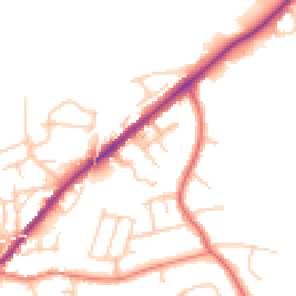
Daytime· 07:00 – 23:00
48.9dB

Night-time· 23:00 – 07:00
40.5dB