7 Langdale Road, Woodley, Stockport, SK6 1BD
About 7 Langdale Road
7 Langdale Road is a property in Woodley, Stockport, Stockport (SK6 1BD). It has council tax band C.
Held since April 1998 — that's 28 years off the open market, well above the local norm. Only one transfer is on record with HM Land Registry, suggesting it has stayed in the same hands for a long time. One planning record on file: an extension approved in 2003. Past consents include an extension and a conservatory, meaningful when judging how the property has evolved.
Everything you need to know about 7 Langdale Road
The true value, the hidden risks and the full sale history, in one report.
Pick your report · every report is £14.99
One time fee only - money back guarantee

The data behind every report


Energy performance
No EPC on record
This property doesn't have an Energy Performance Certificate yet. An EPC is required to sell or let — and unlocks our automated valuation.
Get a survey for this property
Level 2 HomeBuyer Report
We've checked 10 risk factors against the available data for this property and believe a Level 2 HomeBuyer Report could be a suitable option for you.
Planning history
1 application on record at 7 Langdale Road, Woodley, Stockport, SK6 1BD
- Dec 2003ConservatoryOutlineOutcome in report
Conservatory and w.c.
Extension- Documents
- 1 doc on file
- Reference
- DC/013073
Unlock 7 Langdale Road, Woodley, Stockport, SK6 1BD's full planning history
You're seeing the shape of it. The report has the substance.
- Every decision — granted, refused or withdrawn (1 on record)
- All 1 application on this property in full, plus 2 notable nearby
- The 1 documents, officer reports & conditions
- What the pattern means for extending or converting here
One time fee only - money back guarantee
Sales history & valuation
7 Langdale Road has been held in the same hands since before 2000.
£68,000
Recorded with HM Land Registry.
Sales timeline
29 April 1998Most recent
£68,000
Median price across the last 5 sales in SK6 1BD: £246,500 (2024–2016).
Nearby sales in SK6 1BD
3 Langdale Road, Woodley, Stockport, SK6 1BD
Sold Sept 2024
£375,00014 Langdale Road, Woodley, Stockport, SK6 1BD
Sold Jun 2019
£283,00022 Langdale Road, Woodley, Stockport, SK6 1BD
Sold May 2018
£245,0009 Langdale Road, Woodley, Stockport, SK6 1BD
Sold Apr 2017
£225,95016 Langdale Road, Woodley, Stockport, SK6 1BD
Sold Nov 2016
£246,500
Everything you need to know about 7 Langdale Road
The true value, the hidden risks and the full sale history, in one report.
Pick your report · every report is £14.99
One time fee only - money back guarantee
The data behind every report
Similar properties nearby
1 Ash Court, Hyde Road, Woodley
SK6 1LZ
1 Ashdown Avenue, Woodley
SK6 1LL
1 Ashton Street, Woodley
SK6 1PB
1 Balliol Close, Woodley
SK6 1JD
1 Bank Road, Bredbury
SK6 1DR
1 Bankfield Cottages, Woodley
SK6 1RG
1 Bankfield Road, Woodley
SK6 1RH
1 Barrack Hill Close, Bredbury
SK6 1DS
The neighbourhood at a glance
Rail-style transport is unusually close for this postcode.
Crime
1/mo
Steady year-on-year across the wider district.
Nearest stop
0.1 km
Woodley Precinct — bus stop.
Closest school
0.4 km
Bredbury St. Marks CofE Primary School. 22 schools nearby.
Go deeper on the local area
A Local Area report breaks down crime, transport links, schools and air quality in depth.
Road noise across the postcode
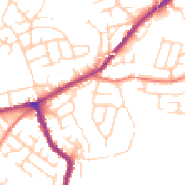
Daytime· 07:00 – 23:00
50.8dB

Night-time· 23:00 – 07:00
40.9dB