19 George Lane, Bredbury, Stockport, SK6 1AS
About 19 George Lane
19 George Lane is a three-bedroom property in Bredbury, Stockport, Stockport (SK6 1AS). It has council tax band B.
Held since January 2009 — that's 17 years off the open market, well above the local norm. That sale fell during the post-crash dip, which often skews comparisons against later neighbouring sales.
What this property has
Inside
- Bedrooms3
Everything you need to know about 19 George Lane
The true value, the hidden risks and the full sale history, in one report.
Pick your report · every report is £14.99
One time fee only - money back guarantee

The data behind every report


Energy performance
No EPC on record
This property doesn't have an Energy Performance Certificate yet. An EPC is required to sell or let — and unlocks our automated valuation.
Get a survey for this property
Level 2 HomeBuyer Report
We've checked 10 risk factors against the available data for this property and believe a Level 2 HomeBuyer Report could be a suitable option for you.
Planning history
19 George Lane has no planning applications on record.
But the area is active
2 notable applications nearby — larger schemes and conversions that could reshape the street. The report maps them all.
Sales history & valuation
The latest sale fell during the post-2008 dip, often a low-water mark in price comparisons.
£127,000
Recorded with HM Land Registry.
Sales timeline
30 January 2009Most recent
£127,000
Median price across the last 5 sales in SK6 1AS: £205,000 (2024–2018).
Nearby sales in SK6 1AS
33 George Lane, Bredbury, Stockport, SK6 1AS
Sold Dec 2024
£220,00037 George Lane, Bredbury, Stockport, SK6 1AS
Sold May 2023
£192,00015 George Lane, Bredbury, Stockport, SK6 1AS
Sold Apr 2022
£205,00018 George Lane, Bredbury, Stockport, SK6 1AS
Sold Aug 2019
£215,00021 George Lane, Bredbury, Stockport, SK6 1AS
Sold Jun 2018
£139,000
Everything you need to know about 19 George Lane
The true value, the hidden risks and the full sale history, in one report.
Pick your report · every report is £14.99
One time fee only - money back guarantee
The data behind every report
Similar properties nearby
1 Chorlton Fold, Woodley
SK6 1NZ
1 Briar Grove, Woodley
SK6 1QW
1 Clough Meadow, Woodley
SK6 1JZ
1 Boundary Close, Woodley
SK6 1LA
1 Davenport Drive, Woodley
SK6 1PX
1 Coppice Close, Woodley
SK6 1JH
1 Bankfield Road, Woodley
SK6 1RH
1 Ashton Street, Woodley
SK6 1PB
The neighbourhood at a glance
Rail-style transport is unusually close for this postcode.
Crime
1/mo
Steady year-on-year across the wider district.
Nearest stop
0.1 km
Reformed Church — bus stop.
Closest school
0.1 km
Bredbury St. Marks CofE Primary School. 19 schools nearby.
Go deeper on the local area
A Local Area report breaks down crime, transport links, schools and air quality in depth.
Road noise across the postcode
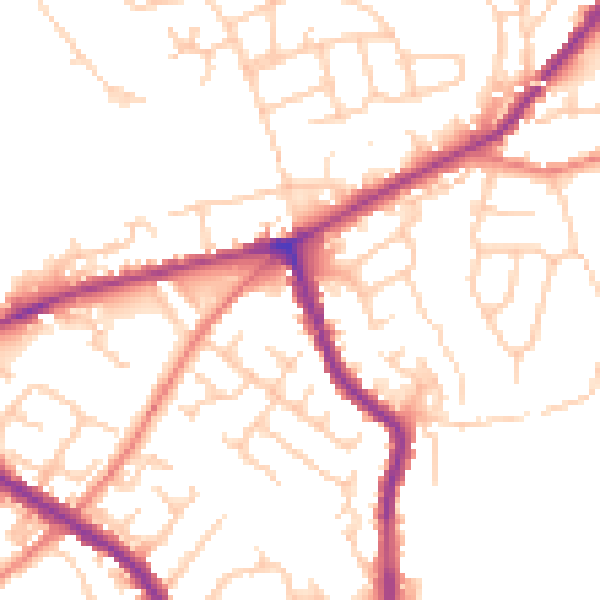
Daytime· 07:00 – 23:00
51.5dB

Night-time· 23:00 – 07:00
41.9dB