3 Robin Close, Chelford, Macclesfield, SK11 9BA
About 3 Robin Close
3 Robin Close is a three-bedroom mid-terrace house in Chelford, Macclesfield, Macclesfield (SK11 9BA). It has a recorded floor area of 82 m² (around 883 sq ft), construction records dating it to 1950-1966 and council tax band C. The latest certificate (September 2020) shows a D (score 66), on the cusp of jumping into the C band. Earlier certificates rated it C (December 2008); the latest reading is one band lower. Between certificates, roof efficiency dropped from Very Good to Good and window efficiency dropped from Good to Average. The recommended improvements would lift it to B (score 84), a 2-band jump. Records show the property has been extended at some point in its history. The home occupies a cul-de-sac position.
On energy efficiency it sits in the bottom 10% of properties in this postcode — significant headroom for improvement. It changed hands recently, sold February 2025 for £312,500. Across 2014–2025, sale prices on this property compounded at 6.1% per year. Today's modelled estimate of £348,000 is 11.4% above the 2025 sale price. On a £-per-square-foot basis, the last sale (£354/sq ft) was about 71.7% above the typical sold price in the postcode.
Know exactly what you're buying at 3 Robin Close
Before you offer, see what the listing won't tell you, the true value, the red flags and the full history.
Already flagged here
Valuation
against the asking price
Risks
planning & flood
Sold prices
similar homes nearby
Trends
the local market
What this property has
Inside
- Bedrooms3
- Bathrooms1
- Utility roomYes
- EnsuiteYes
- FireplaceYes
Outside
- Private gardenYes
- ParkingOff road
- Cul-de-sacYes
Building
- Previously extendedYes
- RefurbishedYes
Energy performance
3 Robin Close sits at the bottom of the postcode for energy efficiency — meaningful headroom to improve.
EPC Rating
Planning history
3 Robin Close has no planning applications on record.
Notable planning nearby
2applications of note in the surrounding area
We flagged 1 thing worth checking at 3 Robin Close
Independent checks surfaced things a buyer would want to understand before offering. The report explains each one in full, with the underlying data and what to ask.
- Larger development activity nearby
30-day money-back guarantee
Sales history & valuation
3 Robin Close valuation sits well clear of the typical sold price in this postcode.
£348,000
Modelled from EPC, postcode comparables and a sale-price growth of 6.1% per year over 10 years.
£312,500
Growth on file: 6.1% per year over 10 years.
Sales timeline
11 February 2025Most recent
£312,500
+40.4%over 7 years4 May 2017
£222,500
+30.9%over 2 years6 November 2014
£170,000
Median price across the last 5 sales in SK11 9BA: £222,000 (2025–2012).
Everything we know about 3 Robin Close, in one report
What it's really worth, what could be wrong, and the planning, sales and area data in full.
What we flagged
- Larger development activity nearby

Versus other Robin Close homes
On epc rating, 3 Robin Close runs well behind the street norm.
Price per m²
£3,811
Street avg £2,538
Floor Area
82 m²
Street avg 80 m²
Habitable Rooms
4 rooms
Street avg 5 rooms
CO₂ Emissions
3.3 t/year
Street avg 3.0 t/year
Similar properties nearby
1 Edgeway, Henbury
SK11 9PA
1 Chapel Croft, Chelford
SK11 9SU
1 Burnt Acre, Chelford
SK11 9SS
1 Chillingham Close, Chelford
SK11 9FZ
1 Clay Heyes, Chelford
SK11 9ST
1 Fytton Close, Gawsworth
SK11 9RB
1 Congleton Lane, Chelford
SK11 9AG
1 Dixon Court, Chelford
SK11 9AU
The neighbourhood at a glance
Rail-style transport is unusually close for this postcode.
Crime
6/mo
Steady year-on-year across the wider district.
Nearest stop
0.1 km
Dixon Drive — bus stop.
Closest school
0.2 km
Chelford CofE Primary School. 2 schools nearby.
Go deeper on the local area
The full report breaks down crime, transport links, schools and air quality in depth.
Road noise across the postcode
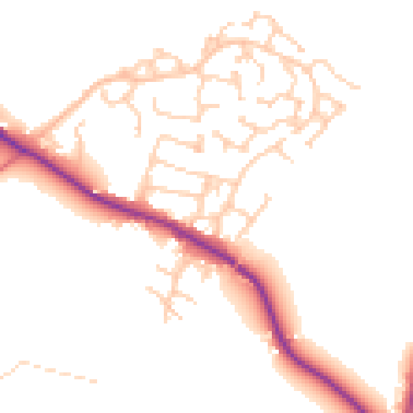
Daytime· 07:00 – 23:00
49.6dB

Night-time· 23:00 – 07:00
42.3dB