41 Bransdale Way, Macclesfield, SK11 8QT
About 41 Bransdale Way
41 Bransdale Way is a one-bedroom end-of-terrace house in Macclesfield (SK11 8QT). It has a recorded floor area of 55 m² (around 592 sq ft), construction records dating it to 1976-1982 and council tax band A. At 55 m² this is the 26th smallest of 66 units on EPC record in the building, where floor areas span 44–91 m². The building's EPC ratings span E to B across 66 units on file. The latest certificate (January 2016) shows a C (score 73). The latest certificate is from January 2016, so improvements made since then won't be reflected.
Across 2005–2020, sale prices on this property compounded at 1% per year. Today's modelled estimate of £120,000 is 26.3% above the 2020 sale price. On a £-per-square-foot basis, the last sale (£160/sq ft) was about 21.3% above the typical sold price in the postcode. Most recent transfer: February 2020 at £95,000.
What this property has
Inside
- Bedrooms1
- Bathrooms1
- StudyYes
Outside
- ParkingYes
Building
- Heating systemGas
Everything you need to know about 41 Bransdale Way
The true value, the hidden risks and the full sale history, in one report.
30-day money-back guarantee

The data behind every report


Energy performance
EPC Expired
This certificate is over 10 years old and is no longer valid.Expired 28 Jan 2026
EPC Rating
Planning history
41 Bransdale Way has no planning applications on record.
Notable planning nearby
3applications of note in the surrounding area
Sales history & valuation
41 Bransdale Way's sale-price growth has lagged the wider UK trajectory across its history on file.
£120,000
Modelled from EPC, postcode comparables and a sale-price growth of 1.0% per year over 15 years.
£95,000
Growth on file: 1.0% per year over 15 years.
Sales timeline
28 February 2020Most recent
£95,000
+15.9%over 14 years30 June 2005
£82,000
Median price across the last 5 sales in SK11 8QT: £115,000 (2023–2021).
Nearby sales in SK11 8QT
49 Bransdale Way, Macclesfield, SK11 8QT
Sold Nov 2023
£160,00064 Bransdale Way, Macclesfield, SK11 8QT
Sold Oct 2023
£115,00066 Bransdale Way, Macclesfield, SK11 8QT
Sold Jun 2022
£200,00025 Bransdale Way, Macclesfield, SK11 8QT
Sold Sept 2021
£99,95020 Bransdale Way, Macclesfield, SK11 8QT
Sold Jul 2021
£85,000
Versus other Bransdale Way homes
On habitable rooms, 41 Bransdale Way runs well behind the street norm.
Price per m²
£1,727
Street avg £1,775
Floor Area
55 m²
Street avg 56 m²
Habitable Rooms
2 rooms
Street avg 3 rooms
CO₂ Emissions
2.0 t/year
Street avg 2.2 t/year
Everything you need to know about 41 Bransdale Way
The true value, the hidden risks and the full sale history, in one report.
30-day money-back guarantee
The data behind every report
Similar properties nearby
1 Armoury Court Mews
SK11 8HQ
1 Brough Street West
SK11 8EL
1 Bread Street
SK11 8EY
1 Bishopton Drive
SK11 8TS
1 Ambleside Close
SK11 8PY
1 Abingdon Close
SK11 8TT
1 Cambridge Road
SK11 8JL
1 Alma Close
SK11 8QQ
The neighbourhood at a glance
Crime
6/mo
Steady year-on-year across the wider district.
Nearest stop
0.2 km
The Ivy Leaf Hotel — bus stop.
Closest school
0.2 km
St John the Evangelist CofE Primary School Macclesfield. 17 schools nearby.
Go deeper on the local area
The full report breaks down crime, transport links, schools and air quality in depth.
Road noise across the postcode
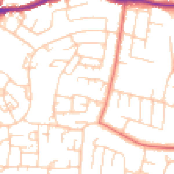
Daytime· 07:00 – 23:00
50.2dB

Night-time· 23:00 – 07:00
38.9dB