5 Bread Street, Macclesfield, SK11 8EY
About 5 Bread Street
5 Bread Street is a semi-detached house in Macclesfield (SK11 8EY). It has a recorded floor area of 77 m² (around 829 sq ft), construction records dating it to 1900-1929 and council tax band A. At 77 m² this is the largest unit on EPC record across the building (31–77 m²). The building's EPC ratings span D to C, with this unit at the bottom. The latest certificate (January 2026) shows a D (score 65), on the cusp of jumping into the C band. Earlier certificates rated it B (June 2009); the latest reading is 2 bands lower. Between certificates, roof efficiency went from Good to Very Good; while wall efficiency dropped from Good to Poor and window efficiency dropped from Good to Average. The recommended improvements would push it to C (score 72). This certificate was lodged in the last six months, so the rating reflects current condition.
At 77 m² the property is well over the postcode median (55 m² across 7 EPCs), placing it in the larger end of the local stock.
Everything you need to know about 5 Bread Street
The true value, the hidden risks and the full sale history, in one report.
30-day money-back guarantee

The data behind every report


Energy performance
The EPC has just been inspected, so the rating reflects current condition.
EPC Rating
Property Improvements
Changes detected from historical EPC data
Low energy lighting percentage decreased
Wall insulation improved
Loft insulation upgraded to recommended levels
More low energy lighting installed
Planning history
5 Bread Street has no planning applications on record.
Notable planning nearby
3applications of note in the surrounding area
Sales history & valuation
5 Bread Street has no Land Registry sales on file, suggesting it has stayed in the same hands since registration began.
£171,000
Modelled from EPC, postcode comparables.
No sales recorded with HM Land Registry
That can mean the property has never traded since the registry began publishing in 1995, was a new build that hasn't been registered yet, or is held in the same hands long-term.
Median price across the last 5 sales in SK11 8EY: £130,000 (2024–2017).
Nearby sales in SK11 8EY
Everything you need to know about 5 Bread Street
The true value, the hidden risks and the full sale history, in one report.
30-day money-back guarantee
The data behind every report
Similar properties nearby
The neighbourhood at a glance
Crime
6/mo
Steady year-on-year across the wider district.
Nearest stop
0.2 km
Park Lane — bus stop.
Closest school
0.4 km
Parkroyal Community School. 19 schools nearby.
Go deeper on the local area
The full report breaks down crime, transport links, schools and air quality in depth.
Road noise across the postcode
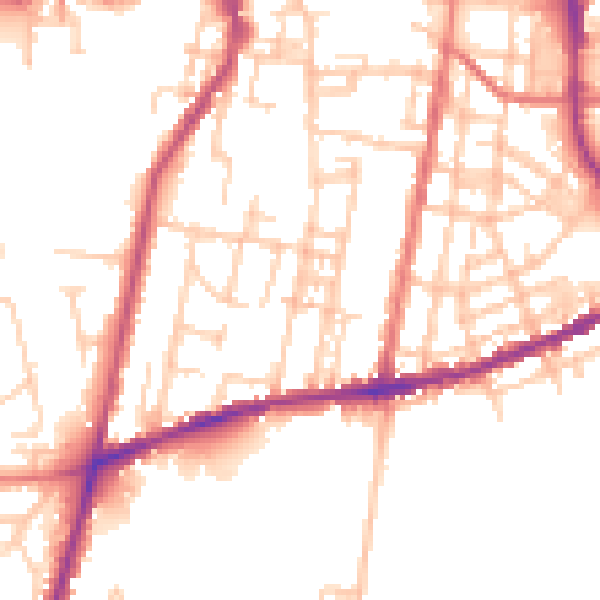
Daytime· 07:00 – 23:00
51.2dB

Night-time· 23:00 – 07:00
41.8dB