20 Athens Street, Stockport, SK1 4DX
About 20 Athens Street
20 Athens Street is a mid-terrace house in Stockport (SK1 4DX). It has a recorded floor area of 73 m² (around 786 sq ft), construction records dating it to 1900-1929 and council tax band A. The latest certificate (November 2012) shows a D (score 57), a step below the typical UK home. The recommended improvements would push it to C (score 78). The latest certificate is from November 2012, so improvements made since then won't be reflected.
Today's modelled estimate of £190,000 sits 146.8% above the 2013 sale of £77,000. On a £-per-square-foot basis, the last sale (£98/sq ft) was about 23.4% below the postcode norm. 13 years since the last transfer (December 2013).
Everything you need to know about 20 Athens Street
The true value, the hidden risks and the full sale history, in one report.
Pick your report · every report is £14.99
One time fee only - money back guarantee

The data behind every report


Energy performance
20 Athens Street's EPC is over a decade old — improvements since won't be reflected.
EPC Expired
This certificate is over 10 years old and is no longer valid.Expired 30 Nov 2022
EPC Rating
Get a survey for this property
Level 3 Building Survey
Because the property was built before 1919, we believe a Level 3 building survey should be considered.
From £820 · Includes VAT
Planning history
20 Athens Street has no planning applications on record.
A planning report still maps activity across the surrounding area and reads this property's extension & conversion potential.
Sales history & valuation
20 Athens Street valuation sits well clear of the typical sold price in this postcode.
£190,000
Modelled from EPC, postcode comparables.
£77,000
Recorded with HM Land Registry.
Sales timeline
2 December 2013Most recent
£77,000
Median price across the last 5 sales in SK1 4DX: £205,000 (2025–2023).
Nearby sales in SK1 4DX
Versus other Athens Street homes
20 Athens Street is notably below the street on price per m².
Price per m²
£1,055
Street avg £1,887
Floor Area
73 m²
Street avg 76 m²
Habitable Rooms
4 rooms
Street avg 4 rooms
CO₂ Emissions
4.0 t/year
Street avg 3.8 t/year
Everything you need to know about 20 Athens Street
The true value, the hidden risks and the full sale history, in one report.
Pick your report · every report is £14.99
One time fee only - money back guarantee
The data behind every report
Similar properties nearby
The neighbourhood at a glance
Crime
1/mo
Steady year-on-year across the wider district.
Nearest stop
0.2 km
Webb Lane — bus stop.
Closest school
0.5 km
Vernon Park Primary School. 38 schools nearby.
Go deeper on the local area
A Local Area report breaks down crime, transport links, schools and air quality in depth.
Road noise across the postcode
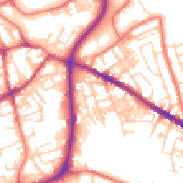
Daytime· 07:00 – 23:00
55.8dB

Night-time· 23:00 – 07:00
44.8dB