5 Bishop Street, Stockport, SK1 4AD
About 5 Bishop Street
5 Bishop Street is a semi-detached house in Stockport (SK1 4AD). It has a recorded floor area of 63 m² (around 678 sq ft), construction records dating it to 1930-1949 and council tax band B. The latest certificate (May 2016) shows a D (score 60), on the cusp of jumping into the C band. The recommended improvements would push it to C (score 80). The latest certificate is from May 2016, so improvements made since then won't be reflected.
Today's modelled estimate of £224,000 sits 77.8% above the 2016 sale of £126,000. On a £-per-square-foot basis, the last sale (£186/sq ft) was about 35.7% above the typical sold price in the postcode. Last changed hands 10 years ago, in August 2016.
Everything you need to know about 5 Bishop Street
The true value, the hidden risks and the full sale history, in one report.
Pick your report · every report is £14.99
One time fee only - money back guarantee

The data behind every report


Energy performance
EPC Expired
This certificate is over 10 years old and is no longer valid.Expired 10 May 2026
EPC Rating
Get a survey for this property
Level 2 HomeBuyer Report
We've checked 10 risk factors against the available data for this property and believe a Level 2 HomeBuyer Report could be a suitable option for you.
From £545 · Includes VAT
Planning history
5 Bishop Street has no planning applications on record.
A planning report still maps activity across the surrounding area and reads this property's extension & conversion potential.
Sales history & valuation
5 Bishop Street valuation sits well clear of the typical sold price in this postcode.
£224,000
Modelled from EPC, postcode comparables.
£126,000
Recorded with HM Land Registry.
Sales timeline
25 August 2016Most recent
£126,000
Median price across the last 5 sales in SK1 4AD: £220,000 (2025–2015).
Nearby sales in SK1 4AD
Versus other Bishop Street homes
5 Bishop Street is notably below the street on habitable rooms.
Price per m²
£2,000
Street avg £2,185
Floor Area
63 m²
Street avg 69 m²
Habitable Rooms
3 rooms
Street avg 4 rooms
CO₂ Emissions
3.5 t/year
Street avg 3.2 t/year
Everything you need to know about 5 Bishop Street
The true value, the hidden risks and the full sale history, in one report.
Pick your report · every report is £14.99
One time fee only - money back guarantee
The data behind every report
Similar properties nearby
The neighbourhood at a glance
Crime
1/mo
Steady year-on-year across the wider district.
Nearest stop
0.2 km
St Mary's Way — bus stop.
Closest school
0.2 km
Vernon Park Primary School. 40 schools nearby.
Go deeper on the local area
A Local Area report breaks down crime, transport links, schools and air quality in depth.
Road noise across the postcode
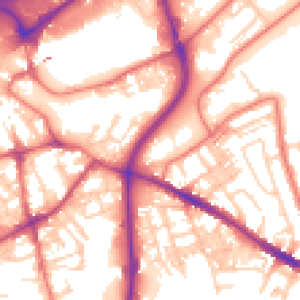
Daytime· 07:00 – 23:00
56.9dB

Night-time· 23:00 – 07:00
46.3dB