83 Lambscroft Avenue, Lewisham, London, SE9 4PD
About 83 Lambscroft Avenue
83 Lambscroft Avenue is an end-of-terrace house in Lewisham, London, London (SE9 4PD). It has a recorded floor area of 80 m² (around 861 sq ft), construction records dating it to 1950-1966 and council tax band C. The latest certificate (August 2024) shows a D (score 65), on the cusp of jumping into the C band. When first surveyed in May 2010 the rating was E, the property has climbed 1 band since. Between certificates, wall efficiency went from Poor to Average, hot-water efficiency went from Poor to Good and lighting went from Average to Very Good. The recommended improvements would lift it to B (score 85), a 2-band jump.
Across 1995–2013, sale prices on this property compounded at 12.2% per year. Today's modelled estimate of £354,000 sits 96.7% above the 2013 sale of £180,000. 13 years since the last transfer (October 2013). Across the public record there are 4 sales, relatively high churn for a single property.
Everything you need to know about 83 Lambscroft Avenue
The true value, the hidden risks and the full sale history, in one report.
30-day money-back guarantee

The data behind every report


Energy performance
Recommended upgrades on file would lift this property by multiple EPC bands.
EPC Rating
Property Improvements
Changes detected from historical EPC data
Heating controls upgraded for better temperature management
Hot water system upgraded
Cavity wall insulation installed
More low energy lighting installed
Planning history
83 Lambscroft Avenue has no planning applications on record.
Notable planning nearby
16applications of note in the surrounding area
We flagged 2 things worth checking at 83 Lambscroft Avenue
Independent checks surfaced things a buyer would want to understand before offering. The report explains each one in full, with the underlying data and what to ask.
- Signs of HMO activity in the area
- Larger development activity nearby
30-day money-back guarantee
Sales history & valuation
Price for 83 Lambscroft Avenue has grown more than fourfold since the 1995 starting point.
£354,000
Modelled from EPC, postcode comparables and a sale-price growth of 12.2% per year over 18 years.
£180,000
Growth on file: 12.2% per year over 18 years.
Sales timeline
24 October 2013Most recent
£180,000
+30.9%over 10 years3 March 2003
£137,500
+80.9%over 3 years2 June 1999
£76,000
+233.3%over 3 years30 October 1995
£22,800
Median price across the last 5 sales in SE9 4PD: £307,000 (2019–2012).
Nearby sales in SE9 4PD
119 Lambscroft Avenue, Lewisham, London, SE9 4PD
Sold Sept 2019
£345,000123 Lambscroft Avenue, Lewisham, London, SE9 4PD
Sold Oct 2018
£307,000115 Lambscroft Avenue, Lewisham, London, SE9 4PD
Sold Jul 2018
£315,24099 Lambscroft Avenue, Lewisham, London, SE9 4PD
Sold Nov 2015
£300,000111 Lambscroft Avenue, Lewisham, London, SE9 4PD
Sold Jun 2012
£180,000
Versus other Lambscroft Avenue homes
Price per m²
£2,250
Street avg £2,903
Floor Area
80 m²
Street avg 68 m²
Habitable Rooms
4 rooms
Street avg 3 rooms
CO₂ Emissions
3.3 t/year
Street avg 3.0 t/year
Everything you need to know about 83 Lambscroft Avenue
The true value, the hidden risks and the full sale history, in one report.
30-day money-back guarantee
The data behind every report
Similar properties nearby
1 Aldersgrove Avenue, Lewisham
SE9 4PW
1 Framlingham Crescent, Bromley
SE9 4AB
1 Grace Close, Lewisham
SE9 4JE
1 Castleton Road, Lewisham
SE9 4BY
1 Cedar Mount, Mottingham Lane, Bromley
SE9 4RU
1 Castlecombe Road, Bromley
SE9 4AU
1 Clarence Road, Bromley
SE9 4SJ
1 Calcott Walk, Bromley
SE9 4BN
The neighbourhood at a glance
Reported crime in the wider district is trending notably upward year-on-year.
Crime
6/mo
Rising year-on-year across the wider district.
Nearest stop
0.2 km
Hall View — bus stop.
Closest school
0.4 km
Marvels Lane Primary School. 36 schools nearby.
Go deeper on the local area
The full report breaks down crime, transport links, schools and air quality in depth.
Road noise across the postcode
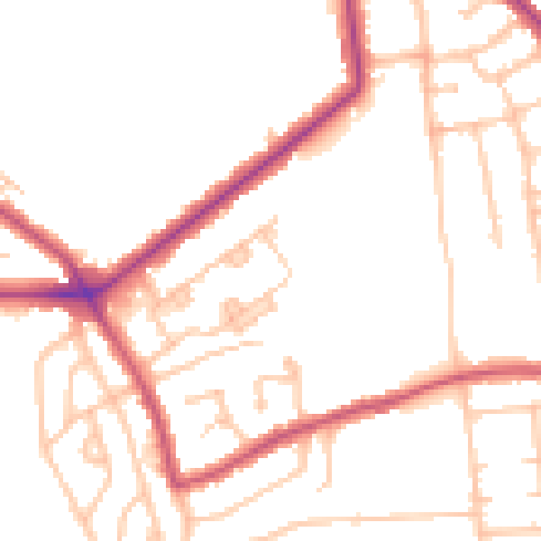
Daytime· 07:00 – 23:00
48.9dB

Night-time· 23:00 – 07:00
39.1dB