4 Cormont Road, Lambeth, London, SE5 9RA
About 4 Cormont Road
4 Cormont Road is an end-of-terrace house in Lambeth, London, London (SE5 9RA). It has a recorded floor area of 171 m² (around 1841 sq ft), construction records dating it to 1930-1949 and council tax band F. The latest certificate (October 2025) shows a D (score 67), on the cusp of jumping into the C band. The recommended improvements would lift it to B (score 82), a 2-band jump.
Untraded for 27 years, with the last transfer in April 1999. Across 1997–1999, sale prices on this property compounded at -25.4% per year. Today's modelled estimate of £1,103,000 sits 1498.6% above the 1999 sale of £69,000. On a £-per-square-foot basis, the last sale (£37/sq ft) was about 92.1% below the postcode norm. 3 planning records sit against the property, 2 approved, 1 refused. Past consents include an extension, meaningful when judging how the property has evolved.
Know exactly what you're buying at 4 Cormont Road
Before you offer, see what the listing won't tell you, the true value, the red flags and the full history.
Already flagged here
Valuation
against the asking price
Risks
planning & flood
Sold prices
similar homes nearby
Trends
the local market
Energy performance
Recommended upgrades on file would lift this property by multiple EPC bands.
EPC Rating
Planning history
4 Cormont Road has an approved single-storey rear extension on the planning record.
- Jun 2013ExtensionConditionsIn report
Extension: Single storey
Variation of condition 2 (approved plans) of planning permission ref: 12/04554/FUL (Development of a first floor rear extension above existing single storey outrigger, installation of bi-folding doors and a glass roof to rear elevation and new door to side elevation) granted on: 30.01.2013.
- Documents
- 8 docs on file
- Reference
- 13/01693/VOC
- Jan 2013ExtensionFullIn report
Extension: Single storey · Rear of property
Development of a first floor rear extension above existing single storey outrigger, installation of bi-folding doors and a glass roof to rear elevation and new door to side elevation.
- Agent
- Town Planning Bureau
- Documents
- 22 docs on file
- Reference
- 12/04554/FUL
We flagged 1 thing worth checking at 4 Cormont Road
Independent checks surfaced things a buyer would want to understand before offering. The report explains each one in full, with the underlying data and what to ask.
- Larger development activity nearby
30-day money-back guarantee
Sales history & valuation
Latest sale on 4 Cormont Road was the lowest on Land Registry record across the postcode.
£1,103,000
Modelled from EPC, postcode comparables and a sale-price growth of -25.4% per year over 2 years.
£69,000
Growth on file: -25.4% per year over 2 years.
Sales timeline
21 April 1999Most recent
£69,000
-45.7%over 2 years21 March 1997
£127,000
Median price across the last 5 sales in SE5 9RA: £1,350,000 (2024–2020).
Nearby sales in SE5 9RA
5 Cormont Road, Lambeth, London, SE5 9RA
Sold Aug 2024
£1,350,00014 Cormont Road, Lambeth, London, SE5 9RA
Sold Nov 2022
£1,400,0002 Cormont Road, Lambeth, London, SE5 9RA
Sold Jan 2022
£1,500,0009 Cormont Road, Lambeth, London, SE5 9RA
Sold Mar 2020
£925,0003 Cormont Road, Lambeth, London, SE5 9RA
Sold Dec 2014
£1,135,000
Everything we know about 4 Cormont Road, in one report
What it's really worth, what could be wrong, and the planning, sales and area data in full.
What we flagged
- Larger development activity nearby

Versus other Cormont Road homes
On price per m², 4 Cormont Road runs well behind the street norm.
Price per m²
£404
Street avg £6,095
Floor Area
171 m²
Street avg 168 m²
Habitable Rooms
6 rooms
Street avg 7 rooms
CO₂ Emissions
5.2 t/year
Street avg 9.1 t/year
Similar properties nearby
1 Kemerton Road, Lambeth
SE5 9AP
1 Bicknell Road, Lambeth
SE5 9AU
1 Halsmere Road, Lambeth
SE5 9LN
1 Brief Street, Lambeth
SE5 9RD
1 Abercorn Villas, County Grove, Southwark
SE5 9LE
1 County Grove, Southwark
SE5 9LG
1 Cambria Road, Lambeth
SE5 9AB
1 Northway Road, Lambeth
SE5 9AN
The neighbourhood at a glance
Rail-style transport is unusually close for this postcode.
Crime
13/mo
Rising year-on-year across the wider district.
Nearest stop
0.1 km
Burton Road / Camberwell — bus stop.
Closest school
0.3 km
Loughborough Primary School. 101 schools nearby.
Go deeper on the local area
The full report breaks down crime, transport links, schools and air quality in depth.
Road noise across the postcode
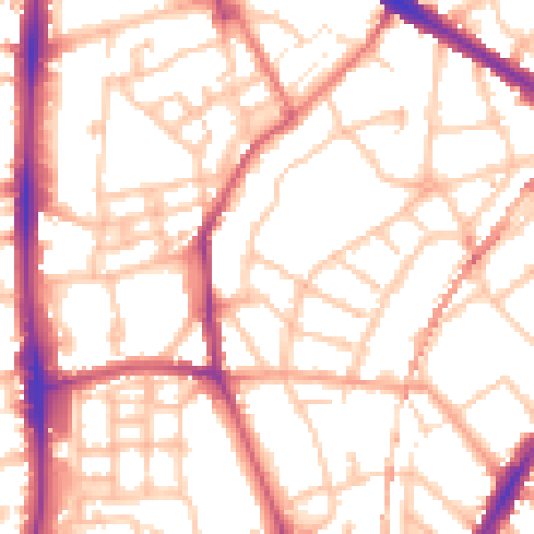
Daytime· 07:00 – 23:00
54.0dB

Night-time· 23:00 – 07:00
43.6dB