131a, Coldharbour Lane, Lambeth, London, SE5 9NU
About 131a
131a is a property in Lambeth, London, London (SE5 9NU). It has council tax band D.
Energy performance
No EPC on record
This property doesn't have an Energy Performance Certificate yet. An EPC is required to sell or let — and unlocks our automated valuation.
Planning history
No planning applications are recorded against 131a, Coldharbour Lane, Lambeth, London, SE5 9NU. The full report also covers planning activity across the surrounding area.
Sales history & valuation
No sales recorded with HM Land Registry
That can mean the property has never traded since the registry began publishing in 1995, was a new build that hasn't been registered yet, or is held in the same hands long-term.
Median price across the last 5 sales in SE5 9NU: £280,000 (2025–2023).
Nearby sales in SE5 9NU
Second Floor Flat, 135 Coldharbour Lane, London, SE5 9NU
Sold Nov 2025
£322,500143a, Flat A, Coldharbour Lane, London, SE5 9NU
Sold Nov 2024
£280,000143a, Coldharbour Lane, Lambeth, London, SE5 9NU
Sold Sept 2024
£273,500135a, Coldharbour Lane, Lambeth, London, SE5 9NU
Sold Mar 2024
£435,000137b, Coldharbour Lane, Lambeth, London, SE5 9NU
Sold Nov 2022
£325,000
Similar properties nearby
1 Abercorn Villas, County Grove, Southwark
SE5 9LE
1 Bavent Road, Lambeth
SE5 9RY
1 Bicknell Road, Lambeth
SE5 9AU
1 Brief Street, Lambeth
SE5 9RD
1 Calais Street, Lambeth
SE5 9LP
1 Caldecot Road, Lambeth
SE5 9RL
1 Camberwell Station Road, Southwark
SE5 9JJ
1 Cambria Road, Lambeth
SE5 9AB
The neighbourhood at a glance
Rail-style transport is unusually close for this postcode.
Crime
13/mo
Rising year-on-year across the wider district.
Nearest stop
0.0 km
Lilford Road (SE5) — bus stop.
Closest school
0.5 km
Crawford Primary School. 90 schools nearby.
Road noise across the postcode
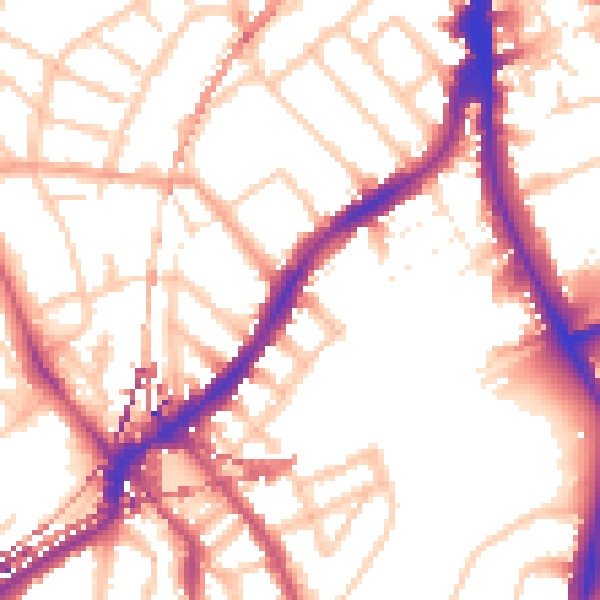
Daytime· 07:00 – 23:00
54.4dB

Night-time· 23:00 – 07:00
45.0dB