4 Northway Road, Lambeth, London, SE5 9AN
About 4 Northway Road
4 Northway Road is a one-bedroom property in Lambeth, London, London (SE5 9AN). It has council tax band D.
Held since May 1999 — that's 27 years off the open market, well above the local norm. One planning record on file: an extension approved in 2009. Past consents include an extension, meaningful when judging how the property has evolved. Across 1995–1999, sale prices on this property compounded at 18% per year.
Know exactly what you're buying at 4 Northway Road
Before you offer, see what the listing won't tell you, the true value, the red flags and the full history.
Already flagged here
Valuation
against the asking price
Risks
planning & flood
Sold prices
similar homes nearby
Trends
the local market
What this property has
Inside
- Bedrooms1
Energy performance
No EPC on record
This property doesn't have an Energy Performance Certificate yet. An EPC is required to sell or let — and unlocks our automated valuation.
Planning history
- Oct 2009ExtensionOutlineIn report
Application for a Certificate of Lawful Development (proposed) with respect to the erection of a rear dormer with juilet balcony and one front rooflight together with extension of the soil vent pipe
- Agent
- Love Architecture
- Documents
- 14 docs on file
- Reference
- 09/02525/LDCP
We flagged 1 thing worth checking at 4 Northway Road
Independent checks surfaced things a buyer would want to understand before offering. The report explains each one in full, with the underlying data and what to ask.
- Larger development activity nearby
30-day money-back guarantee
Sales history & valuation
£139,000
Growth on file: 18.0% per year over 3 years.
Sales timeline
13 May 1999Most recent
£139,000
+75.9%over 3 years15 December 1995
£79,000
Median price across the last 5 sales in SE5 9AN: £715,000 (2025–2022).
Nearby sales in SE5 9AN
36 Northway Road, Lambeth, London, SE5 9AN
Sold Jan 2025
£1,120,000Flat 2, 10 Northway Road, Lambeth, London, SE5 9AN
Sold Oct 2024
£515,00025 Northway Road, Lambeth, London, SE5 9AN
Sold Jul 2023
£795,00021 Northway Road, Lambeth, London, SE5 9AN
Sold Jun 2023
£715,00041 Northway Road, Lambeth, London, SE5 9AN
Sold Jun 2022
£655,000
Everything we know about 4 Northway Road, in one report
What it's really worth, what could be wrong, and the planning, sales and area data in full.
What we flagged
- Larger development activity nearby

Similar properties nearby
1 Flodden Road, Lambeth
SE5 9LL
1 Bavent Road, Lambeth
SE5 9RY
1 Caldecot Road, Lambeth
SE5 9RL
1 Empress Mews, Lambeth
SE5 9BT
1 Halsmere Road, Lambeth
SE5 9LN
1 Herschell Mews, Lambeth
SE5 9AT
1 Northway Road, Lambeth
SE5 9AN
1 Bicknell Road, Lambeth
SE5 9AU
The neighbourhood at a glance
Rail-style transport is unusually close for this postcode.
Crime
13/mo
Rising year-on-year across the wider district.
Nearest stop
0.2 km
Padfield Street — bus stop.
Closest school
0.2 km
St Saviour's Church of England Primary School. 90 schools nearby.
Go deeper on the local area
The full report breaks down crime, transport links, schools and air quality in depth.
Road noise across the postcode
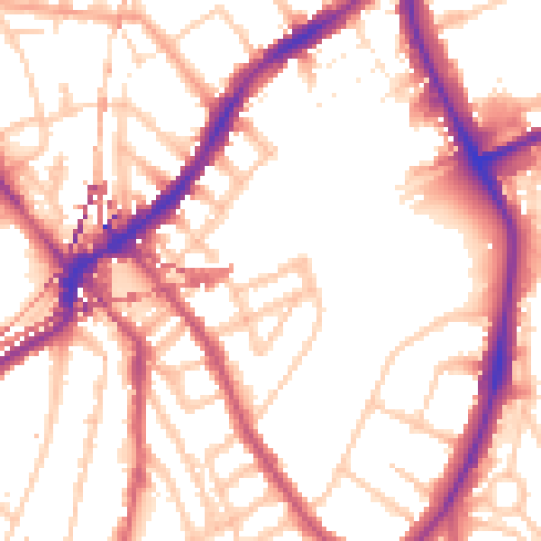
Daytime· 07:00 – 23:00
54.6dB

Night-time· 23:00 – 07:00
45.1dB