13a, Dagmar Road, Southwark, London, SE5 8NZ
About 13a
13a is a mid-terrace house in Southwark, London, London (SE5 8NZ). It has a recorded floor area of 56 m² (around 603 sq ft), construction records dating it to before 1900 and council tax band B. At 56 m² this is the 35th smallest of 73 units on EPC record in the building, where floor areas span 30–191 m². The building's EPC ratings span D to C, with this unit at the top. The latest certificate (December 2016) shows a C (score 74).
2 planning records sit against the property, 2 approved, 0 refused. Past consents include a basement excavation and subdivision, meaningful when judging how the property has evolved.
Know exactly what you're buying at 13a
Before you offer, see what the listing won't tell you, the true value, the red flags and the full history.
Already flagged here
Valuation
against the asking price
Risks
planning & flood
Sold prices
similar homes nearby
Trends
the local market
Energy performance
EPC Rating
Planning history
Council records show a subdivision application — the property's legal arrangement has been altered.
- Jan 2015BasementFullIn report
Demolition of existing front boundary wall to be replaced with new shallow wall with metal railings above (maximum height 1.2m); internal railing in front of basement lightwell; reconfiguration of the stairwell to the basement, with metal handrail; replacement of ground floor front door and overlight; and re-paving of front garden.
- Agent
- Tangram Architects
- Documents
- 1 doc on file
- Reference
- 14/AP/3974
- May 2014SubdivisionOutlineIn report
Internal alterations to change Flats A and B from one bedroom flats to two bedroom flats; refurbishment of Flats C and D; external work comprising the replacement of roof surfaces throughout, the rebuilding / replacement of the half basement steps / retaining wall & ground floor boundary wall with metal railings to the front, and the replacement of windows to the rear extension like for like.
- Agent
- Tangram Architects
- Documents
- 1 doc on file
- Reference
- 14/AP/1041
We flagged 2 things worth checking at 13a
Independent checks surfaced things a buyer would want to understand before offering. The report explains each one in full, with the underlying data and what to ask.
- Signs of HMO activity in the area
- Larger development activity nearby
30-day money-back guarantee
Sales history & valuation
13a has no Land Registry sales on file, suggesting it has stayed in the same hands since registration began.
£478,000
Modelled from EPC, postcode comparables.
No sales recorded with HM Land Registry
That can mean the property has never traded since the registry began publishing in 1995, was a new build that hasn't been registered yet, or is held in the same hands long-term.
Median price across the last 5 sales in SE5 8NZ: £550,000 (2025–2025).
Nearby sales in SE5 8NZ
Basement Flat, 14 Dagmar Road, Southwark, London, SE5 8NZ
Sold Oct 2025
£635,00019a, Dagmar Road, Southwark, London, SE5 8NZ
Sold Jul 2025
£900,00024b, Dagmar Road, Southwark, London, SE5 8NZ
Sold Mar 2025
£495,000Flat A, 8 Dagmar Road, Southwark, London, SE5 8NZ
Sold Mar 2025
£550,000Ground Floor Flat, 12 Dagmar Road, London, SE5 8NZ
Sold Jan 2025
£320,000
Everything we know about 13a, in one report
What it's really worth, what could be wrong, and the planning, sales and area data in full.
What we flagged
- Signs of HMO activity in the area
- Larger development activity nearby

Versus other Dagmar Road homes
On epc rating, 13a stands well clear of the street.
EPC Rating
74 (C)
Street avg 68 (D)
Floor Area
56 m²
Street avg 60 m²
CO₂ Emissions
1.6 t/year
Street avg 2.3 t/year
Habitable Rooms
3 rooms
Street avg 3 rooms
Similar properties nearby
1 Chamberlain Cottages, Camberwell Grove, Southwark
SE5 8JD
1 Anderton Close, Southwark
SE5 8BU
1 Blanchedowne, Southwark
SE5 8HT
1 Ashworth Close, Southwark
SE5 8SS
1 Dowson Close, Southwark
SE5 8AS
1 7, Flat 3, Wren Road
SE5 8QS
1 7, Flat 2, Wren Road
SE5 8QS
1 Camberwell Grove, Southwark
SE5 8JA
The neighbourhood at a glance
Rail-style transport is unusually close for this postcode.
Crime
13/mo
Rising year-on-year across the wider district.
Nearest stop
0.2 km
Vestry Road — bus stop.
Closest school
0.3 km
Lyndhurst Primary School. 95 schools nearby.
Go deeper on the local area
The full report breaks down crime, transport links, schools and air quality in depth.
Road noise across the postcode
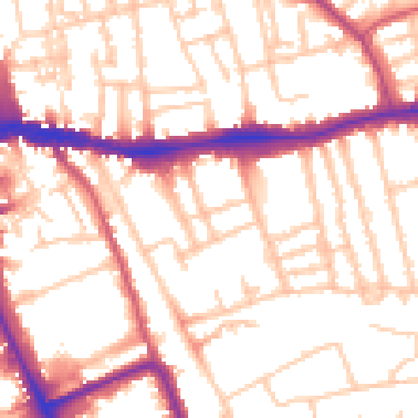
Daytime· 07:00 – 23:00
54.0dB

Night-time· 23:00 – 07:00
44.0dB