5 Albany Mews, Albany Road, Southwark, London, SE5 0DQ
About 5 Albany Mews
5 Albany Mews is a two-bedroom mid-terrace house in Southwark, London, London (SE5 0DQ). It has a recorded floor area of 61 m² (around 657 sq ft), construction records dating it to 1991-1995 and council tax band D. Tenure is freehold. The latest certificate (October 2024) shows a C (score 73). When first surveyed in October 2019 the rating was D, the property has climbed 1 band since. Between certificates, wall efficiency went from Average to Good, roof efficiency went from Average to Very Good and window efficiency went from Very Poor to Average. The recommended improvements would push it to B (score 88). The home occupies a cul-de-sac position.
A recent sale: £561,000 in February 2025. Across 2020–2025, sale prices on this property compounded at 4.8% per year. On a £-per-square-foot basis, the last sale (£854/sq ft) was about 153.8% above the typical sold price in the postcode. At 61 m² it's 17.6% smaller than the typical home in the postcode (74 m² median across 11 EPCs).
Know exactly what you're buying at 5 Albany Mews
Before you offer, see what the listing won't tell you, the true value, the red flags and the full history.
Already flagged here
Valuation
against the asking price
Risks
planning & flood
Sold prices
similar homes nearby
Trends
the local market
What this property has
Inside
- Bedrooms2
- Bathrooms1
- CloakroomYes
Outside
- ParkingYes
- Cul-de-sacYes
Building
- TenureFreehold
- RefurbishedYes
Energy performance
EPC Rating
Property Improvements
Changes detected from historical EPC data
Heating controls upgraded for better temperature management
Single glazing replaced with double or better glazing
Wall insulation upgraded
Roof insulation improved
More low energy lighting installed
Planning history
5 Albany Mews has no planning applications on record.
Notable planning nearby
6applications of note in the surrounding area
We flagged 2 things worth checking at 5 Albany Mews
Independent checks surfaced things a buyer would want to understand before offering. The report explains each one in full, with the underlying data and what to ask.
- Signs of HMO activity in the area
- Larger development activity nearby
30-day money-back guarantee
Sales history & valuation
Latest sale on 5 Albany Mews was the highest on Land Registry record across the postcode.
£576,000
Modelled from EPC, postcode comparables and a sale-price growth of 4.8% per year over 5 years.
£561,000
Growth on file: 4.8% per year over 5 years.
Sales timeline
7 February 2025Most recent
£561,000
+24.7%over 4 years21 May 2020
£450,000
Median price across the last 5 sales in SE5 0DQ: £485,000 (2024–2010).
Nearby sales in SE5 0DQ
5a, Albany Mews, Albany Road, Southwark, London, SE5 0DQ
Sold Nov 2024
£550,0002a, Albany Mews, Albany Road, Southwark, London, SE5 0DQ
Sold Oct 2024
£525,0004a, Albany Mews, Albany Road, Southwark, London, SE5 0DQ
Sold Mar 2024
£485,0001 Albany Mews, Albany Road, Southwark, London, SE5 0DQ
Sold Jul 2010
£280,0007 Albany Mews, Albany Road, Southwark, London, SE5 0DQ
Sold Feb 2009
£230,000
Everything we know about 5 Albany Mews, in one report
What it's really worth, what could be wrong, and the planning, sales and area data in full.
What we flagged
- Signs of HMO activity in the area
- Larger development activity nearby

Versus other Albany Mews homes
On price per m², 5 Albany Mews stands well clear of the street.
Price per m²
£9,197
Street avg £4,742
Floor Area
61 m²
Street avg 74 m²
Habitable Rooms
3 rooms
Street avg 4 rooms
CO₂ Emissions
1.8 t/year
Street avg 3.2 t/year
Similar properties nearby
1 Albany Mews, Albany Road, Southwark
SE5 0DQ
1 Cobourg Road, Southwark
SE5 0HT
10 Medlar Street, Southwark
SE5 0JU
1 Wesson Mead, Camberwell Road, Southwark
SE5 0UW
1 Pepler Mews, Southwark
SE5 0HX
10 Albany Mews, Albany Road, Southwark
SE5 0DQ
1 Grosvenor Terrace, Southwark
SE5 0NR
1 Kit Apartments, 151 Camberwell New Road, Southwark
SE5 0SU
The neighbourhood at a glance
Reported crime in the wider district is trending notably upward year-on-year.
Crime
13/mo
Rising year-on-year across the wider district.
Nearest stop
0.1 km
Albany Road / Camberwell Road — bus stop.
Closest school
0.2 km
John Ruskin Primary School and Language Classes. 101 schools nearby.
Go deeper on the local area
The full report breaks down crime, transport links, schools and air quality in depth.
Road noise across the postcode
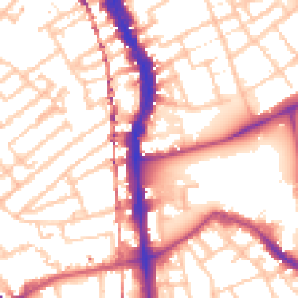
Daytime· 07:00 – 23:00
55.2dB
Night-time· 23:00 – 07:00
43.7dB