1 Wesson Mead, Camberwell Road, Southwark, London, SE5 0UW
About 1 Wesson Mead
1 Wesson Mead is a one-bedroom mid-terrace house in Southwark, London, London (SE5 0UW). It has a recorded floor area of 43 m² (around 463 sq ft), construction records dating it to 1967-1975 and council tax band B. The latest certificate (September 2022) shows a D (score 61), on the cusp of jumping into the C band. When first surveyed in September 2010 the rating was E, the property has climbed 1 band since. Between certificates, window efficiency went from Very Poor to Good. The recommended improvements would push it to C (score 74). The property has an EV charger on record, all of which lower running costs and tend to lift resale appeal.
Across 2017–2024, sale prices on this property compounded at -3.9% per year. Today's modelled estimate of £230,000 is 17.9% above the 2024 sale price. 1 bedrooms is on the smaller side for this postcode, where 3 is the typical count. Most recent transfer: June 2024 at £195,000.
Know exactly what you're buying at 1 Wesson Mead
Before you offer, see what the listing won't tell you, the true value, the red flags and the full history.
Already flagged here
Valuation
against the asking price
Risks
planning & flood
Sold prices
similar homes nearby
Trends
the local market
What this property has
Inside
- Bedrooms1
- Bathrooms1
- Open-plan layoutYes
Building
- EV chargerYes
- ConciergeYes
Energy performance
EPC Rating
Property Improvements
Changes detected from historical EPC data
Changed to a more efficient fuel source
Single glazing replaced with double or better glazing
Planning history
1 Wesson Mead has no planning applications on record.
Notable planning nearby
6applications of note in the surrounding area
We flagged 2 things worth checking at 1 Wesson Mead
Independent checks surfaced things a buyer would want to understand before offering. The report explains each one in full, with the underlying data and what to ask.
- Signs of HMO activity in the area
- Larger development activity nearby
30-day money-back guarantee
Sales history & valuation
£230,000
Modelled from EPC, postcode comparables and a sale-price growth of -3.9% per year over 7 years.
£195,000
Growth on file: -3.9% per year over 7 years.
Sales timeline
27 June 2024Most recent
£195,000
-23.5%over 6 years27 September 2017
£255,000
Everything we know about 1 Wesson Mead, in one report
What it's really worth, what could be wrong, and the planning, sales and area data in full.
What we flagged
- Signs of HMO activity in the area
- Larger development activity nearby

Similar properties nearby
10 Bishops Mead, Camberwell Road, Southwark
SE5 0EU
1 Albany Mews, Albany Road, Southwark
SE5 0DQ
10 Pearson Close, Southwark
SE5 0TU
1 Cobourg Road, Southwark
SE5 0HT
1 Tillings Close, Southwark
SE5 0BX
10 Medlar Street, Southwark
SE5 0JU
1 Castle Mead, Camberwell Road, Southwark
SE5 0EA
10 Kirwyn Way, Southwark
SE5 0YA
The neighbourhood at a glance
Reported crime in the wider district is trending notably upward year-on-year.
Crime
13/mo
Rising year-on-year across the wider district.
Nearest stop
0.1 km
Wyndham Road / Camberwell Road — bus stop.
Closest school
0.3 km
St Joseph's Catholic Junior School. 101 schools nearby.
Go deeper on the local area
The full report breaks down crime, transport links, schools and air quality in depth.
Road noise across the postcode
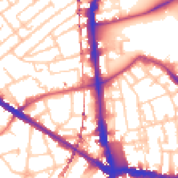
Daytime· 07:00 – 23:00
56.3dB

Night-time· 23:00 – 07:00
45.7dB