28 Brook Lane, Greenwich, London, SE3 0JH
About 28 Brook Lane
28 Brook Lane is a semi-detached house in Greenwich, London, London (SE3 0JH). It has a recorded floor area of 90 m² (around 969 sq ft), construction records dating it to 1950-1966 and council tax band C. The latest certificate (January 2025) shows an E (score 49), well below the UK norm with real room to improve. The recommended improvements would lift it to C (score 80), a 2-band jump.
Know exactly what you're buying at 28 Brook Lane
Before you offer, see what the listing won't tell you, the true value, the red flags and the full history.
Valuation
against the asking price
Risks
planning & flood
Sold prices
similar homes nearby
Trends
the local market
Energy performance
Recommended upgrades on file would lift this property by multiple EPC bands.
EPC Rating
Planning history
28 Brook Lane has no planning applications on record.
Notable planning nearby
3applications of note in the surrounding area
Sales history & valuation
28 Brook Lane has no Land Registry sales on file, suggesting it has stayed in the same hands since registration began.
£587,000
Modelled from EPC, postcode comparables.
No sales recorded with HM Land Registry
That can mean the property has never traded since the registry began publishing in 1995, was a new build that hasn't been registered yet, or is held in the same hands long-term.
Median price across the last 2 sales in SE3 0JH: £285,000 (2016–2003).
Everything we know about 28 Brook Lane, in one report
What it's really worth, what could be wrong, and the planning, sales and area data in full.
- Am I paying too much?
- Is something wrong with it?
- Is the agent's story true?
- Will it hold its value?

Similar properties nearby
1 Dover Patrol, Greenwich
SE3 0DW
1 Delme Crescent, Greenwich
SE3 0ED
1 Kidbrooke Way, Greenwich
SE3 0DY
1 4, Nesbitt Close, Lewisham
SE3 0XB
1 4, Hurren Close, Lewisham
SE3 0XA
1 Birchmere Row, Pond Road, Lewisham
SE3 0SS
1 Brigade Street, Lewisham
SE3 0TW
1 Collins Square, Lewisham
SE3 0BT
The neighbourhood at a glance
Rail-style transport is unusually close for this postcode.
Crime
10/mo
Rising year-on-year across the wider district.
Nearest stop
0.1 km
Wricklemarsh Rd Rochester Way — bus stop.
Closest school
0.5 km
Kidbrooke Park Primary School. 57 schools nearby.
Go deeper on the local area
The full report breaks down crime, transport links, schools and air quality in depth.
Road noise across the postcode
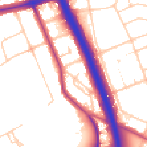
Daytime· 07:00 – 23:00
54.0dB

Night-time· 23:00 – 07:00
46.0dB