Mary Datchelor Bungalow, Hunts Slip Road, Southwark, London, SE21 7LJ
About Mary Datchelor Bungalow
Mary Datchelor Bungalow is a detached house in Southwark, London, London (SE21 7LJ). It has a recorded floor area of 89 m² (around 958 sq ft) and construction records dating it to 1950-1966. The latest certificate (April 2022) shows an E (score 44), well below the UK norm with real room to improve. The recommended improvements would lift it to B (score 81), a 3-band jump.
Across 2019–2024, sale prices on this property compounded at 52.2% per year. Today's modelled estimate of £706,000 is 41.2% above the 2024 sale price. Sold October 2024 for £500,000.
Everything you need to know about Mary Datchelor Bungalow
The true value, the hidden risks and the full sale history, in one report.
Pick your report · every report is £14.99
One time fee only - money back guarantee

The data behind every report


Energy performance
Mary Datchelor Bungalow's carbon output runs well above what efficient homes in the postcode produce.
EPC Rating
Get a survey for this property
Level 2 HomeBuyer Report
We've checked 10 risk factors against the available data for this property and believe a Level 2 HomeBuyer Report could be a suitable option for you.
From £995 · Includes VAT
Planning history
Mary Datchelor Bungalow has no planning applications on record.
A planning report still maps activity across the surrounding area and reads this property's extension & conversion potential.
Sales history & valuation
Price for Mary Datchelor Bungalow has grown more than fourfold since the 2019 starting point.
£706,000
Modelled from EPC, postcode comparables and a sale-price growth of 52.2% per year over 5 years.
£500,000
Growth on file: 52.2% per year over 5 years.
Sales timeline
7 October 2024Most recent
£500,000
+814.9%over 5 years1 July 2019
£54,650
Everything you need to know about Mary Datchelor Bungalow
The true value, the hidden risks and the full sale history, in one report.
Pick your report · every report is £14.99
One time fee only - money back guarantee
The data behind every report
Similar properties nearby
1 Calton Avenue, Southwark
SE21 7DE
1 Dekker Road, Southwark
SE21 7DL
1 Constable Walk, College Road, Southwark
SE21 7LX
1 Court Lane, Southwark
SE21 7DH
1 Ryecotes Mead, Southwark
SE21 7EP
1 Red Post Hill, Southwark
SE21 7BX
1 Mitchell S Place, Southwark
SE21 7JZ
1 Hunts Slip Road, Southwark
SE21 7LJ
The neighbourhood at a glance
Rail-style transport is unusually close for this postcode.
Crime
6/mo
Rising year-on-year across the wider district.
Nearest stop
0.5 km
Dulwich College — bus stop.
Closest school
0.6 km
Kingsdale Foundation School. 60 schools nearby.
Go deeper on the local area
A Local Area report breaks down crime, transport links, schools and air quality in depth.
Road noise across the postcode
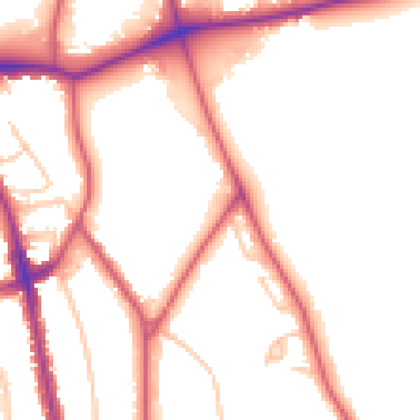
Daytime· 07:00 – 23:00
51.8dB

Night-time· 23:00 – 07:00
42.6dB