40 Village Way, Southwark, London, SE21 7AP
About 40 Village Way
40 Village Way is a semi-detached house in Southwark, London, London (SE21 7AP). It has a recorded floor area of 114 m² (around 1227 sq ft), construction records dating it to 1950-1966 and council tax band F. The latest certificate (April 2022) shows an E (score 48), well below the UK norm with real room to improve. The recommended improvements would lift it to B (score 82), a 3-band jump.
Today's modelled estimate of £973,000 is 42.8% below the 2022 sale of £1,700,000, below the original sale price, which typically signals condition or completion-status changes worth verifying. 3 planning records sit against the property, 3 approved, 0 refused. Past consents include an extension, a porch and tree works, meaningful when judging how the property has evolved. Last sale on file: £1,700,000 in December 2022. That sale was during the post-pandemic price surge, when transactions cleared materially above pre-2020 trend.
Everything you need to know about 40 Village Way
The true value, the hidden risks and the full sale history, in one report.
Pick your report · every report is £14.99
One time fee only - money back guarantee

The data behind every report


Energy performance
40 Village Way's carbon output runs well above what efficient homes in the postcode produce.
EPC Rating
Get a survey for this property
Level 2 HomeBuyer Report
We've checked 10 risk factors against the available data for this property and believe a Level 2 HomeBuyer Report could be a suitable option for you.
From £1,145 · Includes VAT
Planning history
3 applications on record at 40 Village Way, Southwark, London, SE21 7AP
- Jan 2009Tree WorksTreesOutcome in report
Works to trees:T1 Thin crown by 25%, remove dead wood and 2 low branches of Sycamore tree located on NE corner on boundary with 74 half moon lane; T2 re-pollard to prebvious pollard point of 2 Horse chestnuts on N boundary to half moon lane; and T3 remove and grind out stump of Strawberry tree located beneath a sycamore tree adj to side extension of main house.
- Documents
- 4 docs on file
- Reference
- 08/AP/2805
- More recent applications — locked
- PorchMar 2026Decision
- Tree WorksMar 2021Decision
Unlock 40 Village Way, Southwark, London, SE21 7AP's full planning history
You're seeing the shape of it. The report has the substance.
- Every decision — granted, refused or withdrawn (3 on record)
- All 3 applications on this property in full
- The 49 documents, officer reports & conditions
- What the pattern means for extending or converting here
One time fee only - money back guarantee
Sales history & valuation
The latest sale landed in the post-pandemic price surge — useful context when reading the figure.
£973,000
Modelled from EPC, postcode comparables.
£1,700,000
Recorded with HM Land Registry.
Sales timeline
16 December 2022Most recent
£1,700,000
Everything you need to know about 40 Village Way
The true value, the hidden risks and the full sale history, in one report.
Pick your report · every report is £14.99
One time fee only - money back guarantee
The data behind every report
Similar properties nearby
1 Ryecotes Mead, Southwark
SE21 7EP
1 Red Post Hill, Southwark
SE21 7BX
1 Mitchell S Place, Southwark
SE21 7JZ
1 Court Lane, Southwark
SE21 7DH
1 Hunts Slip Road, Southwark
SE21 7LJ
1 Dekker Road, Southwark
SE21 7DL
1 Calton Avenue, Southwark
SE21 7DE
1 Desenfans Road, Southwark
SE21 7DN
The neighbourhood at a glance
Rail-style transport is unusually close for this postcode.
Crime
6/mo
Rising year-on-year across the wider district.
Nearest stop
0.0 km
Beckwith Road — bus stop.
Closest school
0.1 km
Judith Kerr Primary School. 72 schools nearby.
Go deeper on the local area
A Local Area report breaks down crime, transport links, schools and air quality in depth.
Road noise across the postcode
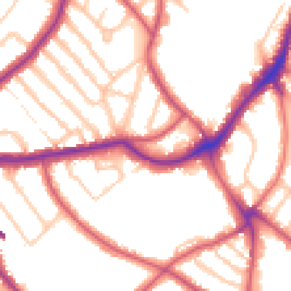
Daytime· 07:00 – 23:00
53.0dB

Night-time· 23:00 – 07:00
42.8dB