3 Mcghee Terrace, Sunbury Street, Greenwich, London, SE18 5AE
About 3 Mcghee Terrace
3 Mcghee Terrace is an end-of-terrace house in Greenwich, London, London (SE18 5AE). It has a recorded floor area of 132 m² (around 1421 sq ft) and council tax band D. The latest certificate (June 2011) returns a high B (score 89), putting the home a stone's throw from an A rating. The latest certificate is from June 2011, so improvements made since then won't be reflected.
Everything you need to know about 3 Mcghee Terrace
The true value, the hidden risks and the full sale history, in one report.
Pick your report · every report is £14.99
One time fee only - money back guarantee

The data behind every report


Energy performance
3 Mcghee Terrace's carbon output is low for the local stock.
EPC Expired
This certificate is over 10 years old and is no longer valid.Expired 01 Jun 2021
EPC Rating
Get a survey for this property
Level 2 HomeBuyer Report
We've checked 10 risk factors against the available data for this property and believe a Level 2 HomeBuyer Report could be a suitable option for you.
From £795 · Includes VAT
Planning history
3 Mcghee Terrace has no planning applications on record.
But the area is active
7 notable applications nearby — larger schemes and conversions that could reshape the street. The report maps them all.
Sales history & valuation
3 Mcghee Terrace has no Land Registry sales on file, suggesting it has stayed in the same hands since registration began.
£513,000
Modelled from EPC, postcode comparables.
No sales recorded with HM Land Registry
That can mean the property has never traded since the registry began publishing in 1995, was a new build that hasn't been registered yet, or is held in the same hands long-term.
Everything you need to know about 3 Mcghee Terrace
The true value, the hidden risks and the full sale history, in one report.
Pick your report · every report is £14.99
One time fee only - money back guarantee
The data behind every report
Similar properties nearby
1 Mcghee Terrace, Sunbury Street, Greenwich
SE18 5AE
1 Marshalls Grove, Greenwich
SE18 5HR
1 Ogilby Street, Greenwich
SE18 5EH
1 Harlinger Street, Greenwich
SE18 5SU
1 Lord Warwick Street, Greenwich
SE18 5QA
1 Prospect Vale, Greenwich
SE18 5HT
1 Paradise Place, Greenwich
SE18 5EE
1 Mulgrave Road, Greenwich
SE18 5TX
The neighbourhood at a glance
Rail-style transport is unusually close for this postcode.
Crime
13/mo
Rising year-on-year across the wider district.
Nearest stop
0.1 km
Kingsman Street — bus stop.
Closest school
0.3 km
Saint Mary Magdalene Church of England All Through School. 50 schools nearby.
Go deeper on the local area
A Local Area report breaks down crime, transport links, schools and air quality in depth.
Road noise across the postcode
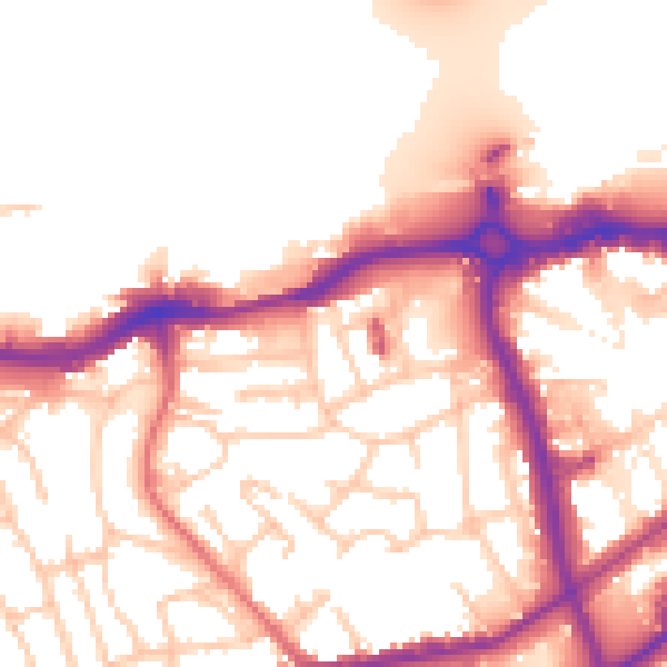
Daytime· 07:00 – 23:00
54.7dB

Night-time· 23:00 – 07:00
46.1dB