Acworth House, Flat 21, Barnfield Road, Greenwich, London, SE18 3TW
About Acworth House
Acworth House is a property in Greenwich, London, London (SE18 3TW). It has council tax band A.
Energy performance
No EPC on record
This property doesn't have an Energy Performance Certificate yet. An EPC is required to sell or let — and unlocks our automated valuation.
Get a survey for this property
Level 2 HomeBuyer Report
We've checked 10 risk factors against the available data for this property and believe a Level 2 HomeBuyer Report could be a suitable option for you.
Planning history
No planning applications are recorded against Acworth House, Flat 21, Barnfield Road, Greenwich, London, SE18 3TW. The full report also covers planning activity across the surrounding area.
Sales history & valuation
No sales recorded with HM Land Registry
That can mean the property has never traded since the registry began publishing in 1995, was a new build that hasn't been registered yet, or is held in the same hands long-term.
Median price across the last 5 sales in SE18 3TW: £115,000 (2014–2008).
Nearby sales in SE18 3TW
Acworth House, Flat 17a, Barnfield Road, Greenwich, London, SE18 3TW
Sold Mar 2014
£120,000Acworth House, Flat 14, Barnfield Road, Greenwich, London, SE18 3TW
Sold Dec 2013
£135,000Acworth House, Flat 23, Barnfield Road, Greenwich, London, SE18 3TW
Sold Jul 2012
£100,000Acworth House, Flat 39, Barnfield Road, Greenwich, London, SE18 3TW
Sold Oct 2011
£100,000Acworth House, Flat 30, Barnfield Road, Greenwich, London, SE18 3TW
Sold Jul 2007
£119,995
Similar properties nearby
29a, Flat 1, Herbert Road, Greenwich
SE18 3SZ
29a, Flat 2, Herbert Road, Greenwich
SE18 3SZ
29a, Flat 3, Herbert Road, Greenwich
SE18 3SZ
29a, Flat 4, Herbert Road, Greenwich
SE18 3SZ
29a, Flat 5, Herbert Road, Greenwich
SE18 3SZ
29a, Flat 6, Herbert Road, Greenwich
SE18 3SZ
29a, Flat 7, Herbert Road, Greenwich
SE18 3SZ
29a, Flat 8, Herbert Road, Greenwich
SE18 3SZ
The neighbourhood at a glance
Reported crime in the wider district is trending notably upward year-on-year.
Crime
13/mo
Rising year-on-year across the wider district.
Nearest stop
0.1 km
Herbert Road / Plumstead Common Road — bus stop.
Closest school
0.2 km
Nightingale Primary School. 47 schools nearby.
Road noise across the postcode
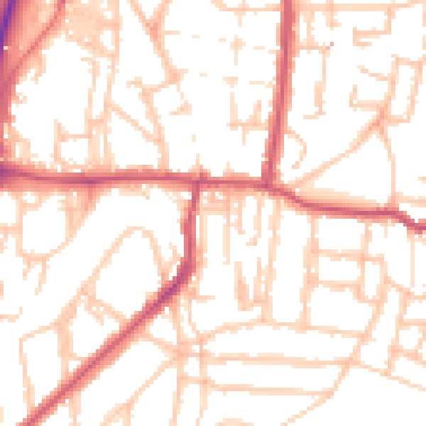
Daytime· 07:00 – 23:00
51.9dB

Night-time· 23:00 – 07:00
39.7dB