2 Orchard Road, Greenwich, London, SE18 1BG
About 2 Orchard Road
2 Orchard Road is an end-of-terrace house in Greenwich, London, London (SE18 1BG). It has a recorded floor area of 43 m² (around 463 sq ft), construction records dating it to 1930-1949 and council tax band B. The latest certificate (August 2023) shows a C (score 69), just inside the C band. When first surveyed in August 2017 the rating was D, the property has climbed 1 band since. Between certificates, wall efficiency went from Very Poor to Poor and roof efficiency went from Good to Very Good.
Everything you need to know about 2 Orchard Road
The true value, the hidden risks and the full sale history, in one report.
Pick your report · every report is £14.99
One time fee only - money back guarantee

The data behind every report


Energy performance
EPC Rating
Property Improvements
Changes detected from historical EPC data
Wall insulation improved
Roof insulation improved
Get a survey for this property
Level 3 Building Survey
Because the property has solid (non-cavity) walls, we believe a Level 3 building survey should be considered.
From £885 · Includes VAT
Planning history
2 Orchard Road has no planning applications on record.
But the area is active
127 notable applications nearby — larger schemes and conversions that could reshape the street. The report maps them all.
Sales history & valuation
2 Orchard Road has no Land Registry sales on file, suggesting it has stayed in the same hands since registration began.
£214,000
Modelled from EPC, postcode comparables.
No sales recorded with HM Land Registry
That can mean the property has never traded since the registry began publishing in 1995, was a new build that hasn't been registered yet, or is held in the same hands long-term.
Everything you need to know about 2 Orchard Road
The true value, the hidden risks and the full sale history, in one report.
Pick your report · every report is £14.99
One time fee only - money back guarantee
The data behind every report
Similar properties nearby
1 Hartville Road, Greenwich
SE18 1DQ
1 Granite Street, Greenwich
SE18 1LS
1 Heath House, Heath Villas, Greenwich
SE18 1PF
1 Heckford Close, Greenwich
SE18 1DS
1 Gossage Road, Greenwich
SE18 1NQ
1 Century House, Abery Street, Greenwich
SE18 1DR
1 Garibaldi Street, Greenwich
SE18 1DE
1 Conway Road, Greenwich
SE18 1AQ
The neighbourhood at a glance
Rail-style transport is unusually close for this postcode.
Crime
13/mo
Rising year-on-year across the wider district.
Nearest stop
0.0 km
Orchard Road / Griffin Road — bus stop.
Closest school
0.2 km
St Patrick's Catholic Primary School. 43 schools nearby.
Go deeper on the local area
A Local Area report breaks down crime, transport links, schools and air quality in depth.
Road noise across the postcode
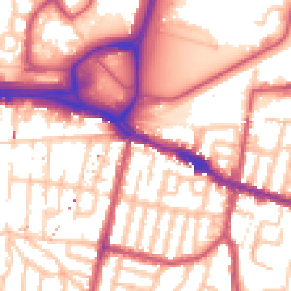
Daytime· 07:00 – 23:00
56.9dB

Night-time· 23:00 – 07:00
46.7dB