6 Tewson Road, Greenwich, London, SE18 1AY
About 6 Tewson Road
6 Tewson Road is a property in Greenwich, London, London (SE18 1AY). It has council tax band C.
Energy performance
No EPC on record
This property doesn't have an Energy Performance Certificate yet. An EPC is required to sell or let — and unlocks our automated valuation.
Get a survey for this property
Level 2 HomeBuyer Report
We've checked 10 risk factors against the available data for this property and believe a Level 2 HomeBuyer Report could be a suitable option for you.
Planning history
No planning applications are recorded against 6 Tewson Road, Greenwich, London, SE18 1AY. The full report also covers planning activity across the surrounding area.
Sales history & valuation
No sales recorded with HM Land Registry
That can mean the property has never traded since the registry began publishing in 1995, was a new build that hasn't been registered yet, or is held in the same hands long-term.
Median price across the last 5 sales in SE18 1AY: £375,000 (2024–2023).
Nearby sales in SE18 1AY
66 Tewson Road, Greenwich, London, SE18 1AY
Sold Nov 2024
£415,00048 Tewson Road, Greenwich, London, SE18 1AY
Sold Nov 2024
£186,49028 Tewson Road, Greenwich, London, SE18 1AY
Sold Jul 2024
£410,00076 Tewson Road, Greenwich, London, SE18 1AY
Sold Jun 2024
£337,50094 Tewson Road, Greenwich, London, SE18 1AY
Sold Jun 2023
£375,000
Similar properties nearby
1 Abery Street, Greenwich
SE18 1DB
1 Balgowan Street, Greenwich
SE18 1EB
1 Bargate Close, Greenwich
SE18 1LP
1 Barth Mews, Greenwich
SE18 1SW
1 Barth Road, Greenwich
SE18 1SG
1 Bateson Street, Greenwich
SE18 1DA
1 Bebbington Road, Greenwich
SE18 1QX
1 Bernstein Court, Garibaldi Street, Greenwich
SE18 1DP
The neighbourhood at a glance
Rail-style transport is unusually close for this postcode.
Crime
13/mo
Rising year-on-year across the wider district.
Nearest stop
0.2 km
Bannockburn Road — bus stop.
Closest school
0.3 km
Bannockburn Primary School. 45 schools nearby.
Road noise across the postcode
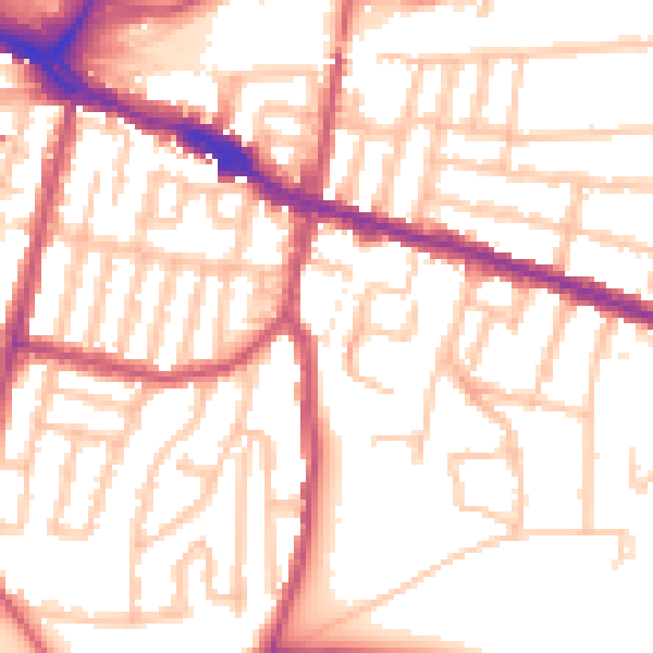
Daytime· 07:00 – 23:00
53.6dB

Night-time· 23:00 – 07:00
42.5dB