43 Ingledew Road, Greenwich, London, SE18 1AP
About 43 Ingledew Road
43 Ingledew Road is a mid-terrace house in Greenwich, London, London (SE18 1AP). It has a recorded floor area of 93 m² (around 1001 sq ft), construction records dating it to before 1900 and council tax band C. The latest certificate (March 2016) shows a D (score 56), a step below the typical UK home. The recommended improvements would push it to C (score 78). The latest certificate is from March 2016, so improvements made since then won't be reflected.
Everything you need to know about 43 Ingledew Road
The true value, the hidden risks and the full sale history, in one report.
Pick your report · every report is £14.99
One time fee only - money back guarantee

The data behind every report


Energy performance
EPC Expired
This certificate is over 10 years old and is no longer valid.Expired 11 Mar 2026
EPC Rating
Get a survey for this property
Level 3 Building Survey
Because the property was built before 1919, has been extended more than once, and has solid (non-cavity) walls, we believe a Level 3 building survey should be considered.
From £1,020 · Includes VAT
Planning history
43 Ingledew Road has no planning applications on record.
But the area is active
127 notable applications nearby — larger schemes and conversions that could reshape the street. The report maps them all.
Sales history & valuation
43 Ingledew Road has no Land Registry sales on file, suggesting it has stayed in the same hands since registration began.
£411,000
Modelled from EPC, postcode comparables.
No sales recorded with HM Land Registry
That can mean the property has never traded since the registry began publishing in 1995, was a new build that hasn't been registered yet, or is held in the same hands long-term.
Median price across the last 5 sales in SE18 1AP: £318,000 (2025–2013).
Nearby sales in SE18 1AP
59 Ingledew Road, Greenwich, London, SE18 1AP
Sold Jul 2025
£400,00047 Ingledew Road, Greenwich, London, SE18 1AP
Sold Jan 2025
£416,5001 Ingledew Road, Greenwich, London, SE18 1AP
Sold Apr 2017
£318,0003 Ingledew Road, Greenwich, London, SE18 1AP
Sold Nov 2013
£200,0007 Ingledew Road, Greenwich, London, SE18 1AP
Sold Aug 2012
£160,000
Versus other Ingledew Road homes
CO₂ Emissions for 43 Ingledew Road lags the street by a wide margin.
EPC Rating
56 (D)
Street avg 63 (D)
Floor Area
93 m²
Street avg 86 m²
CO₂ Emissions
4.8 t/year
Street avg 3.6 t/year
Habitable Rooms
5 rooms
Street avg 4 rooms
Everything you need to know about 43 Ingledew Road
The true value, the hidden risks and the full sale history, in one report.
Pick your report · every report is £14.99
One time fee only - money back guarantee
The data behind every report
Similar properties nearby
1 Bateson Street, Greenwich
SE18 1DA
1 Brookdene Road, Greenwich
SE18 1EN
1 Gallosson Road, Greenwich
SE18 1RD
1 Congo Road, Greenwich
SE18 1TF
1 Coxwell Road, Greenwich
SE18 1AN
1 Goldsmid Street, Greenwich
SE18 1PT
1 Gunning Street, Greenwich
SE18 1BY
1 Bebbington Road, Greenwich
SE18 1QX
The neighbourhood at a glance
Rail-style transport is unusually close for this postcode.
Crime
13/mo
Rising year-on-year across the wider district.
Nearest stop
0.2 km
Conway Road — bus stop.
Closest school
0.2 km
Conway Primary School. 44 schools nearby.
Go deeper on the local area
A Local Area report breaks down crime, transport links, schools and air quality in depth.
Road noise across the postcode
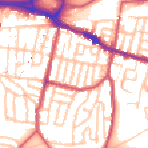
Daytime· 07:00 – 23:00
54.9dB

Night-time· 23:00 – 07:00
43.5dB