29 Conway Road, Greenwich, London, SE18 1AH
About 29 Conway Road
29 Conway Road is a property in Greenwich, London, London (SE18 1AH). It has council tax band C.
Held since April 2001 — that's 25 years off the open market, well above the local norm. Only one transfer is on record with HM Land Registry, suggesting it has stayed in the same hands for a long time.
Everything you need to know about 29 Conway Road
The true value, the hidden risks and the full sale history, in one report.
Pick your report · every report is £14.99
One time fee only - money back guarantee

The data behind every report


Energy performance
No EPC on record
This property doesn't have an Energy Performance Certificate yet. An EPC is required to sell or let — and unlocks our automated valuation.
Get a survey for this property
Level 2 HomeBuyer Report
We've checked 10 risk factors against the available data for this property and believe a Level 2 HomeBuyer Report could be a suitable option for you.
Planning history
29 Conway Road has no planning applications on record.
But the area is active
127 notable applications nearby — larger schemes and conversions that could reshape the street. The report maps them all.
Sales history & valuation
£90,000
Recorded with HM Land Registry.
Sales timeline
5 April 2001Most recent
£90,000
Median price across the last 5 sales in SE18 1AH: £286,500 (2025–2016).
Nearby sales in SE18 1AH
40 Conway Road, Greenwich, London, SE18 1AH
Sold Jun 2025
£495,00043 Conway Road, Greenwich, London, SE18 1AH
Sold Jul 2022
£286,50014 Conway Road, Greenwich, London, SE18 1AH
Sold Aug 2019
£13,50027 Conway Road, Greenwich, London, SE18 1AH
Sold Jul 2019
£340,00013a, Conway Road, Greenwich, London, SE18 1AH
Sold Oct 2016
£1,000
Everything you need to know about 29 Conway Road
The true value, the hidden risks and the full sale history, in one report.
Pick your report · every report is £14.99
One time fee only - money back guarantee
The data behind every report
Similar properties nearby
1 Hector Street, Greenwich
SE18 1QT
1 Fox Hollow Close, Greenwich
SE18 1RX
1 Bebbington Road, Greenwich
SE18 1QX
1 Goldsmid Street, Greenwich
SE18 1PT
1 Congo Road, Greenwich
SE18 1TF
1 Gallosson Road, Greenwich
SE18 1RD
1 Bateson Street, Greenwich
SE18 1DA
1 Brookdene Road, Greenwich
SE18 1EN
The neighbourhood at a glance
Rail-style transport is unusually close for this postcode.
Crime
13/mo
Rising year-on-year across the wider district.
Nearest stop
0.1 km
Conway Road — bus stop.
Closest school
0.1 km
St Patrick's Catholic Primary School. 44 schools nearby.
Go deeper on the local area
A Local Area report breaks down crime, transport links, schools and air quality in depth.
Road noise across the postcode
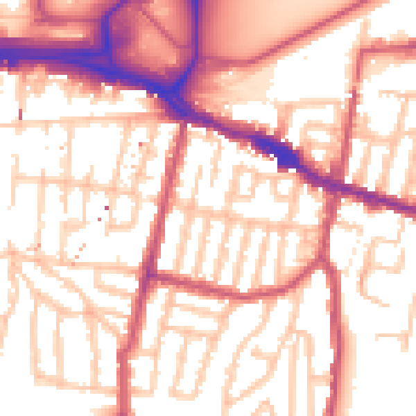
Daytime· 07:00 – 23:00
55.6dB

Night-time· 23:00 – 07:00
44.9dB