11 Pedworth Gardens, Southwark, London, SE16 2DX
About 11 Pedworth Gardens
11 Pedworth Gardens is a property in Southwark, London, London (SE16 2DX). It has council tax band D.
Energy performance
No EPC on record
This property doesn't have an Energy Performance Certificate yet. An EPC is required to sell or let — and unlocks our automated valuation.
Planning history
No planning applications are recorded against 11 Pedworth Gardens, Southwark, London, SE16 2DX. The full report also covers planning activity across the surrounding area.
Sales history & valuation
No sales recorded with HM Land Registry
That can mean the property has never traded since the registry began publishing in 1995, was a new build that hasn't been registered yet, or is held in the same hands long-term.
Median price across the last 5 sales in SE16 2DX: £430,000 (2025–2016).
Nearby sales in SE16 2DX
10 Pedworth Gardens, Southwark, London, SE16 2DX
Sold Aug 2025
£640,00022 Pedworth Gardens, Southwark, London, SE16 2DX
Sold Mar 2022
£282,5003 Pedworth Gardens, Southwark, London, SE16 2DX
Sold Jan 2019
£430,00027 Pedworth Gardens, Southwark, London, SE16 2DX
Sold Dec 2016
£320,0006 Pedworth Gardens, Southwark, London, SE16 2DX
Sold Jul 2013
£291,000
Similar properties nearby
The neighbourhood at a glance
Rail-style transport is unusually close for this postcode.
Crime
5/mo
Rising year-on-year across the wider district.
Nearest stop
0.1 km
Corbetts Lane — bus stop.
Closest school
0.3 km
Galleywall Primary, City of London Academy. 92 schools nearby.
Road noise across the postcode
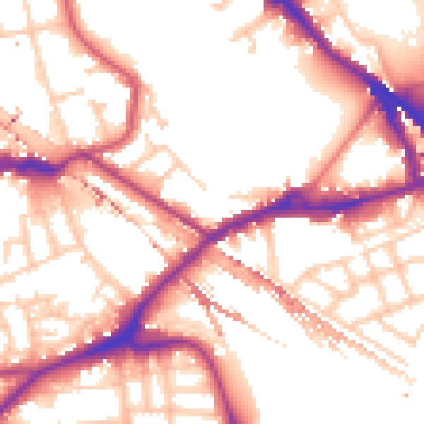
Daytime· 07:00 – 23:00
54.8dB

Night-time· 23:00 – 07:00
45.6dB