27b, Keston Road, London, SE15 4JA
About 27b
27b is a two-bedroom mid-terrace house in London (SE15 4JA). It has a recorded floor area of 47 m² (around 506 sq ft) and construction records dating it to 1900-1929. At 47 m² this is the smallest unit on EPC record across the building (47–102 m²). The building's EPC ratings span D to C, with this unit at the bottom. The latest certificate (February 2016) shows a D (score 66), on the cusp of jumping into the C band. The recommended improvements would push it to C (score 76). The latest certificate is from February 2016, so improvements made since then won't be reflected.
It changed hands recently, sold October 2025 for £712,000. At 47 m² it sits well below the postcode median (90 m² across 18 EPCs), making it one of the more compact homes locally. One planning record on file: an extension approved in 2016. Past consents include an extension, meaningful when judging how the property has evolved. Across 2016–2025, sale prices on this property compounded at 5.3% per year. On a £-per-square-foot basis, the last sale (£1,407/sq ft) was about 262.4% above the typical sold price in the postcode.
Know exactly what you're buying at 27b
Before you offer, see what the listing won't tell you, the true value, the red flags and the full history.
Already flagged here
Launch offer · save £5
Valuation
against the asking price
Risks
planning & flood
Sold prices
similar homes nearby
Trends
the local market
What this property has
Inside
- Bedrooms2
- Bathrooms1
- Open-plan layoutYes
- CloakroomYes
Outside
- Private gardenYes
Energy performance
EPC Expired
This certificate is over 10 years old and is no longer valid.Expired 02 Feb 2026
EPC Rating
Planning history
27b has an approved extension on the planning record.
- Nov 2016ExtensionFullIn report
Construction of a rear extension to ground floor flat comprising full width living/dining/kitchen room with partial side return infill.
- Agent
- Victoria Mustard Architect
- Documents
- 51 docs on file
- Reference
- 16/AP/3745
We flagged 1 thing worth checking at 27b
Independent checks surfaced things a buyer would want to understand before offering. The report explains each one in full, with the underlying data and what to ask.
- Larger development activity nearby
30-day money-back guarantee
Sales history & valuation
27b saw 3 transfers in just over a decade — high turnover for the postcode.
£646,000
Modelled from EPC, postcode comparables and a sale-price growth of 5.3% per year over 9 years.
£712,000
Growth on file: 5.3% per year over 9 years.
Sales timeline
14 October 2025Most recent
£712,000
+4.7%over 4 years4 November 2020
£680,000
+54.5%over 4 years2 June 2016
£440,000
Median price across the last 5 sales in SE15 4JA: £571,000 (2023–2019).
Nearby sales in SE15 4JA
39b, Keston Road, Southwark, London, SE15 4JA
Sold Sept 2023
£490,0001a, Keston Road, Southwark, London, SE15 4JA
Sold Dec 2022
£900,00031a, Keston Road, Southwark, London, SE15 4JA
Sold May 2022
£645,00039a, Keston Road, Southwark, London, SE15 4JA
Sold Jan 2020
£571,0007b, Keston Road, Southwark, London, SE15 4JA
Sold Nov 2019
£490,000
Everything we know about 27b, in one report
What it's really worth, what could be wrong, and the planning, sales and area data in full.
What we flagged
- Larger development activity nearby

Versus other Keston Road homes
Years Held for 27b lags the street by a wide margin.
Price per m²
£15,149
Street avg £5,911
Floor Area
47 m²
Street avg 68 m²
Habitable Rooms
3 rooms
Street avg 3 rooms
CO₂ Emissions
2.0 t/year
Street avg 3.2 t/year
Similar properties nearby
1 Choumert Mews, Southwark
SE15 4BD
1 Muschamp Road, Southwark
SE15 4EG
1 Hazel Close, Southwark
SE15 4UF
1 Almond Close, Southwark
SE15 4UH
1 Adys Road, Southwark
SE15 4DX
1 Girdlers Cottages, Choumert Road, Southwark
SE15 4SF
1 Mcdermott Road, Southwark
SE15 4NZ
1 Nigel Road, Southwark
SE15 4NP
The neighbourhood at a glance
Rail-style transport is unusually close for this postcode.
Crime
11/mo
Rising year-on-year across the wider district.
Nearest stop
0.2 km
Oakhurst Grove — bus stop.
Closest school
0.1 km
St John's and St Clement's Church of England Primary School. 77 schools nearby.
Go deeper on the local area
The full report breaks down crime, transport links, schools and air quality in depth.
Road noise across the postcode
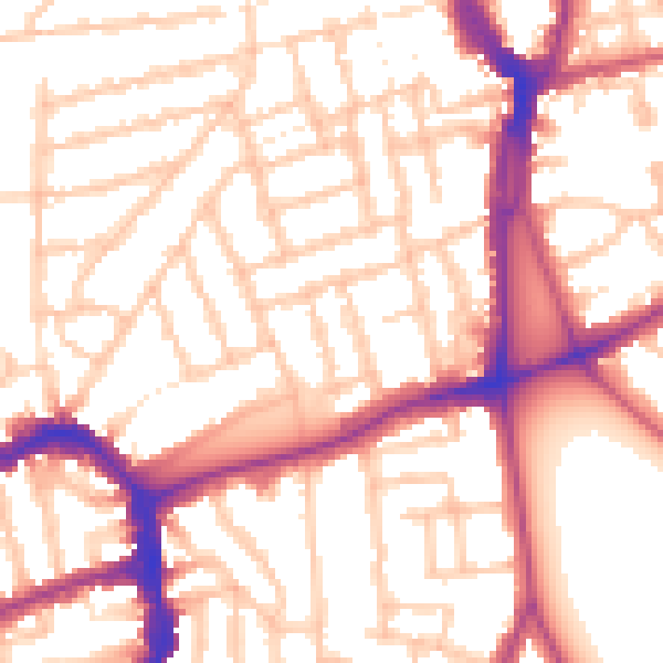
Daytime· 07:00 – 23:00
54.4dB

Night-time· 23:00 – 07:00
44.2dB