39a, Oglander Road, Southwark, London, SE15 4DD
About 39a
39a is a mid-terrace house in Southwark, London, London (SE15 4DD). It has a recorded floor area of 56 m² (around 603 sq ft), construction records dating it to 1900-1929 and council tax band B. At 56 m² this is the 13th smallest of 33 units on EPC record in the building, where floor areas span 47–200 m². The building's EPC ratings span E to C across 33 units on file. The latest certificate (October 2014) shows a D (score 68), on the cusp of jumping into the C band. The recommended improvements would push it to C (score 79). The latest certificate is from October 2014, so improvements made since then won't be reflected.
Across 2015–2022, sale prices on this property compounded at 3.7% per year. On a £-per-square-foot basis, the last sale (£954/sq ft) was about 183.2% above the typical sold price in the postcode. Sold November 2022 for £575,000. That sale was during the post-pandemic price surge, when transactions cleared materially above pre-2020 trend.
Everything you need to know about 39a
The true value, the hidden risks and the full sale history, in one report.
30-day money-back guarantee

The data behind every report


Energy performance
39a's EPC is over a decade old — improvements since won't be reflected.
EPC Expired
This certificate is over 10 years old and is no longer valid.Expired 16 Oct 2024
EPC Rating
Planning history
39a has no planning applications on record.
Notable planning nearby
5applications of note in the surrounding area
We flagged 1 thing worth checking at 39a
Independent checks surfaced things a buyer would want to understand before offering. The report explains each one in full, with the underlying data and what to ask.
- Larger development activity nearby
30-day money-back guarantee
Sales history & valuation
The latest sale landed in the post-pandemic price surge — useful context when reading the figure.
£579,000
Modelled from EPC, postcode comparables and a sale-price growth of 3.7% per year over 7 years.
£575,000
Growth on file: 3.7% per year over 7 years.
Sales timeline
11 November 2022Most recent
£575,000
+30.7%over 7 years13 July 2015
£440,000
Median price across the last 5 sales in SE15 4DD: £587,500 (2024–2018).
Nearby sales in SE15 4DD
Flat B, 65 Oglander Road, Southwark, London, SE15 4DD
Sold Sept 2024
£505,000Flat A, 65 Oglander Road, Southwark, London, SE15 4DD
Sold Sept 2024
£700,000Flat C, 65 Oglander Road, Southwark, London, SE15 4DD
Sold Apr 2024
£312,96735a, Oglander Road, Southwark, London, SE15 4DD
Sold Aug 2022
£587,50061 Oglander Road, Southwark, London, SE15 4DD
Sold Jul 2018
£1,400,000
Versus other Oglander Road homes
CO₂ Emissions for 39a runs comfortably ahead of the street norm.
Price per m²
£10,268
Street avg £7,020
Floor Area
56 m²
Street avg 60 m²
Habitable Rooms
3 rooms
Street avg 3 rooms
CO₂ Emissions
2.2 t/year
Street avg 3.3 t/year
Everything you need to know about 39a
The true value, the hidden risks and the full sale history, in one report.
30-day money-back guarantee
The data behind every report
Similar properties nearby
1 Birch Close, Southwark
SE15 4UG
1 Almond Close, Southwark
SE15 4UH
1 Hazel Close, Southwark
SE15 4UF
1 Mcdermott Road, Southwark
SE15 4NZ
1 Copleston Mews, Southwark
SE15 4PR
1 Adys Road, Southwark
SE15 4DX
1 Girdlers Cottages, Choumert Road, Southwark
SE15 4SF
1 Choumert Grove, Southwark
SE15 4RB
The neighbourhood at a glance
Rail-style transport is unusually close for this postcode.
Crime
11/mo
Rising year-on-year across the wider district.
Nearest stop
0.2 km
Ondine Road — bus stop.
Closest school
0.2 km
Goose Green Primary and Nursery School. 76 schools nearby.
Go deeper on the local area
The full report breaks down crime, transport links, schools and air quality in depth.
Road noise across the postcode
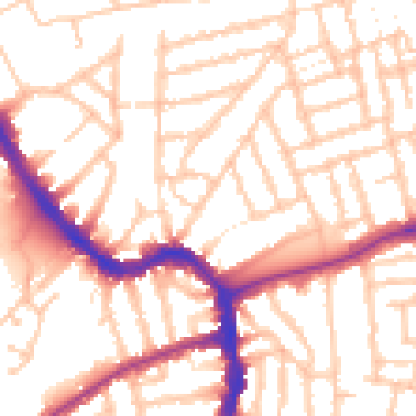
Daytime· 07:00 – 23:00
53.3dB

Night-time· 23:00 – 07:00
42.7dB