6 Brabourn Grove, Southwark, London, SE15 2BS
About 6 Brabourn Grove
6 Brabourn Grove is a three-bedroom mid-terrace house in Southwark, London, London (SE15 2BS). It has a recorded floor area of 102 m² (around 1093 sq ft), construction records dating it to 1900-1929 and council tax band D. The property has an EV charger on record, all of which lower running costs and tend to lift resale appeal. Period features are noted in the property record. The latest certificate (August 2011) shows a D (score 56), a step below the typical UK home. The latest certificate is from August 2011, so improvements made since then won't be reflected.
One planning record on file: an extension approved in 2021. Past consents include an extension, meaningful when judging how the property has evolved. Across 2008–2018, sale prices on this property compounded at 12.3% per year. Today's modelled estimate of £859,000 is 15.3% above the 2018 sale price. On a £-per-square-foot basis, the last sale (£682/sq ft) was about 73.8% above the typical sold price in the postcode. Last changed hands 8 years ago, in March 2018.
Know exactly what you're buying at 6 Brabourn Grove
Before you offer, see what the listing won't tell you, the true value, the red flags and the full history.
Already flagged here
Launch offer · save £5
Valuation
against the asking price
Risks
planning & flood
Sold prices
similar homes nearby
Trends
the local market
What this property has
Inside
- Bedrooms3
- Bathrooms1
Outside
- Private gardenYes
Building
- EV chargerYes
- Period featuresYes
- RefurbishedYes
Energy performance
6 Brabourn Grove's EPC is over a decade old — improvements since won't be reflected.
EPC Expired
This certificate is over 10 years old and is no longer valid.Expired 18 Aug 2021
EPC Rating
Planning history
6 Brabourn Grove has an approved single-storey extension on the planning record.
- May 2021ExtensionFullIn report
Extension: Single storey
Construction of ground floor single storey infill extension to both properties with new shared party wall structure. Associated external landscape works.
- Agent
- Smith & Newton Architects
- Documents
- 15 docs on file
- Reference
- 21/AP/0828
We flagged 1 thing worth checking at 6 Brabourn Grove
Independent checks surfaced things a buyer would want to understand before offering. The report explains each one in full, with the underlying data and what to ask.
- Signs of HMO activity in the area
30-day money-back guarantee
Sales history & valuation
Sale price has at least doubled since 2008.
£859,000
Modelled from EPC, postcode comparables and a sale-price growth of 12.3% per year over 9 years.
£745,000
Growth on file: 12.3% per year over 9 years.
Sales timeline
2 March 2018Most recent
£745,000
+112.9%over 6 years20 January 2012
£349,950
+40.0%over 3 years14 October 2008
£250,000
Median price across the last 5 sales in SE15 2BS: £890,000 (2024–2022).
Nearby sales in SE15 2BS
32 Brabourn Grove, Southwark, London, SE15 2BS
Sold Nov 2024
£723,7502 Brabourn Grove, Southwark, London, SE15 2BS
Sold Nov 2023
£1,230,0001a, Brabourn Grove, Southwark, London, SE15 2BS
Sold Jul 2023
£490,00020 Brabourn Grove, Southwark, London, SE15 2BS
Sold Jul 2022
£924,9991 Brabourn Grove, Southwark, London, SE15 2BS
Sold May 2022
£890,000
Everything we know about 6 Brabourn Grove, in one report
What it's really worth, what could be wrong, and the planning, sales and area data in full.
What we flagged
- Signs of HMO activity in the area

Versus other Brabourn Grove homes
Price per m²
£7,340
Street avg £5,952
Floor Area
102 m²
Street avg 98 m²
Habitable Rooms
5 rooms
Street avg 5 rooms
CO₂ Emissions
5.4 t/year
Street avg 5.1 t/year
Similar properties nearby
1 Brabourn Grove, Southwark
SE15 2BS
1 Hathorne Close, Southwark
SE15 2BY
1 King Arthur Close, Southwark
SE15 2LP
1 Dayton Grove, Southwark
SE15 2NX
1 Lanvanor Road, Southwark
SE15 2BT
1 Glenton Mews, Southwark
SE15 2EH
1 Kings Grove, Southwark
SE15 2LY
1 Lulworth Road, Southwark
SE15 2BL
The neighbourhood at a glance
Rail-style transport is unusually close for this postcode.
Crime
11/mo
Rising year-on-year across the wider district.
Nearest stop
0.2 km
Hollydale Road — bus stop.
Closest school
0.3 km
Hollydale Primary School. 80 schools nearby.
Go deeper on the local area
The full report breaks down crime, transport links, schools and air quality in depth.
Road noise across the postcode
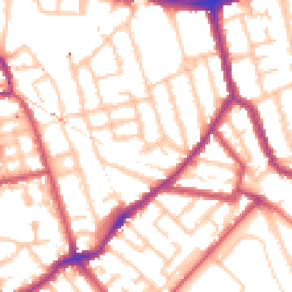
Daytime· 07:00 – 23:00
53.6dB

Night-time· 23:00 – 07:00
42.7dB