7 Ferrars Drive, Sheffield, S9 1WU
About 7 Ferrars Drive
7 Ferrars Drive is a three-bedroom semi-detached house in Sheffield (S9 1WU). It has a recorded floor area of 76 m² (around 818 sq ft), construction records dating it to 1950-1966 and council tax band A. The latest certificate (August 2024) shows a D (score 60), on the cusp of jumping into the C band. The recommended improvements would push it to C (score 74). The home occupies a cul-de-sac position.
It changed hands recently, sold February 2025 for £220,000. Across 2000–2025, sale prices on this property compounded at 6.7% per year. On a £-per-square-foot basis, the last sale (£269/sq ft) was about 150.3% above the typical sold price in the postcode.
What this property has
Inside
- Bedrooms3
- Bathrooms1
- Dining roomYes
Outside
- Private gardenYes
- GarageDouble, Detached
- Cul-de-sacYes
Everything you need to know about 7 Ferrars Drive
The true value, the hidden risks and the full sale history, in one report.
Pick your report · every report is £14.99
One time fee only - money back guarantee

The data behind every report


Energy performance
EPC Rating
Get a survey for this property
Level 2 HomeBuyer Report
We've checked 10 risk factors against the available data for this property and believe a Level 2 HomeBuyer Report could be a suitable option for you.
From £545 · Includes VAT
Planning history
7 Ferrars Drive has no planning applications on record.
But the area is active
1 notable application nearby — larger schemes and conversions that could reshape the street. The report maps them all.
Sales history & valuation
Latest sale on 7 Ferrars Drive was the highest on Land Registry record across the postcode.
£214,000
Modelled from EPC, postcode comparables and a sale-price growth of 6.7% per year over 24 years.
£220,000
Growth on file: 6.7% per year over 24 years.
Sales timeline
25 February 2025Most recent
£220,000
+389.4%over 24 years4 September 2000
£44,950
Median price across the last 5 sales in S9 1WU: £130,000 (2025–2001).
Versus other Ferrars Drive homes
7 Ferrars Drive outperforms the street on price per m² by a wide margin.
Price per m²
£2,895
Street avg £1,369
Floor Area
76 m²
Street avg 88 m²
Habitable Rooms
5 rooms
Street avg 5 rooms
CO₂ Emissions
3.7 t/year
Street avg 4.2 t/year
Everything you need to know about 7 Ferrars Drive
The true value, the hidden risks and the full sale history, in one report.
Pick your report · every report is £14.99
One time fee only - money back guarantee
The data behind every report
Similar properties nearby
The neighbourhood at a glance
Reported crime in the wider district is trending notably upward year-on-year.
Crime
19/mo
Rising year-on-year across the wider district.
Nearest stop
0.2 km
Bawtry Road/Ackworth Drive — bus stop.
Closest school
0.8 km
Tinsley Meadows Primary School. 19 schools nearby.
Go deeper on the local area
A Local Area report breaks down crime, transport links, schools and air quality in depth.
Road noise across the postcode
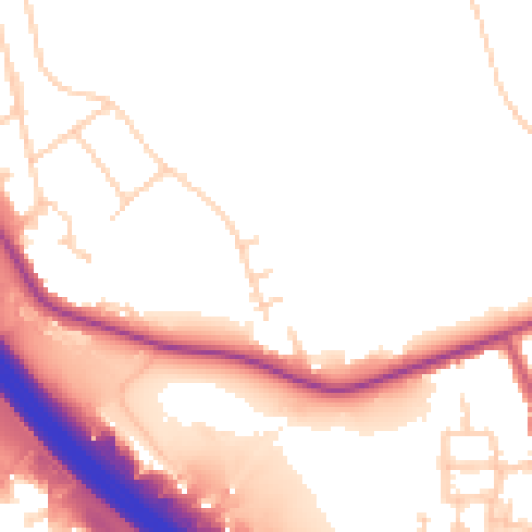
Daytime· 07:00 – 23:00
52.8dB

Night-time· 23:00 – 07:00
44.7dB