1 Ferrars Way, Sheffield, S9 1WW
About 1 Ferrars Way
1 Ferrars Way is a three-bedroom semi-detached house in Sheffield (S9 1WW). It has a recorded floor area of 93 m² (around 998 sq ft), construction records dating it to 1967-1975 and council tax band A. Tenure is freehold. The latest certificate (September 2010) shows a D (score 62), on the cusp of jumping into the C band. The recommended improvements would push it to C (score 70). The latest certificate is from September 2010, so improvements made since then won't be reflected.
Held since May 2011 — that's 15 years off the open market, well above the local norm. 3 planning records sit against the property, 2 approved, 1 refused. Past consents include an extension and a conservatory, meaningful when judging how the property has evolved. At 93 m² it's 25.3% larger than the typical home in the postcode (74 m² median across 3 EPCs). Across 2001–2011, sale prices on this property compounded at 10.2% per year. Today's modelled estimate of £157,000 is 36.5% above the 2011 sale price.
What this property has
Inside
- Bedrooms3
Building
- TenureFreehold
Everything you need to know about 1 Ferrars Way
The true value, the hidden risks and the full sale history, in one report.
Pick your report · every report is £14.99
One time fee only - money back guarantee

The data behind every report


Energy performance
1 Ferrars Way's EPC is over a decade old — improvements since won't be reflected.
EPC Expired
This certificate is over 10 years old and is no longer valid.Expired 26 Sept 2020
EPC Rating
Get a survey for this property
Level 2 HomeBuyer Report
We've checked 10 risk factors against the available data for this property and believe a Level 2 HomeBuyer Report could be a suitable option for you.
From £495 · Includes VAT
Planning history
A recent planning application at 1 Ferrars Way was refused — worth checking the council file.
3 applications on record at 1 Ferrars Way, Sheffield, S9 1WW
- Jul 2004ExtensionFullOutcome in report
Extension: Single storey · Side of property
Single-storey side extension to dwellinghouse to form garage
- Reference
- 04/02230/FUL
- More recent applications — locked
- ExtensionMay 2024Decision
- ConservatorySept 2005Decision
Unlock 1 Ferrars Way, Sheffield, S9 1WW's full planning history
You're seeing the shape of it. The report has the substance.
- Every decision — granted, refused or withdrawn (3 on record)
- All 3 applications on this property in full, plus 1 notable nearby
- The 9 documents, officer reports & conditions
- What the pattern means for extending or converting here
One time fee only - money back guarantee
Sales history & valuation
Sale price has at least doubled since 2001.
£157,000
Modelled from EPC, postcode comparables and a sale-price growth of 10.2% per year over 10 years.
£115,000
Growth on file: 10.2% per year over 10 years.
Sales timeline
2 May 2011Most recent
£115,000
-11.5%over 4 years21 May 2006
£130,000
+202.7%over 5 years9 March 2001
£42,950
Median price across the last 5 sales in S9 1WW: £104,000 (2022–2003).
Versus other Ferrars Way homes
Floor Area for 1 Ferrars Way runs comfortably ahead of the street norm.
EPC Rating
62 (D)
Street avg 65 (D)
Floor Area
93 m²
Street avg 74 m²
CO₂ Emissions
4.6 t/year
Street avg 3.1 t/year
Habitable Rooms
6 rooms
Street avg 5 rooms
Everything you need to know about 1 Ferrars Way
The true value, the hidden risks and the full sale history, in one report.
Pick your report · every report is £14.99
One time fee only - money back guarantee
The data behind every report
Similar properties nearby
The neighbourhood at a glance
Reported crime in the wider district is trending notably upward year-on-year.
Crime
19/mo
Rising year-on-year across the wider district.
Nearest stop
0.2 km
Bawtry Road/Ackworth Drive — bus stop.
Closest school
0.9 km
Brinsworth Academy. 20 schools nearby.
Go deeper on the local area
A Local Area report breaks down crime, transport links, schools and air quality in depth.
Road noise across the postcode
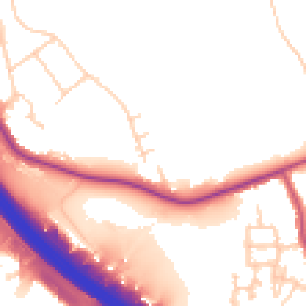
Daytime· 07:00 – 23:00
53.5dB

Night-time· 23:00 – 07:00
45.4dB