4 Broomroyd, Worsbrough, Barnsley, S70 5DU
About 4 Broomroyd
4 Broomroyd is a semi-detached house in Worsbrough, Barnsley, Barnsley (S70 5DU). It has a recorded floor area of 87 m² (around 936 sq ft), construction records dating it to 1950-1966 and council tax band A. The latest certificate (February 2023) shows a C (score 72). When first surveyed in February 2014 the rating was D, the property has climbed 1 band since. Between certificates, hot-water efficiency went from Very Poor to Good; while wall efficiency dropped from Good to Average and roof efficiency dropped from Very Good to Good. The recommended improvements would push it to B (score 85).
Know exactly what you're buying at 4 Broomroyd
Before you offer, see what the listing won't tell you, the true value, the red flags and the full history.
Already flagged here
Valuation
against the asking price
Risks
planning & flood
Sold prices
similar homes nearby
Trends
the local market
Energy performance
EPC Rating
Property Improvements
Changes detected from historical EPC data
Hot water system upgraded
More low energy lighting installed
Planning history
4 Broomroyd has no planning applications on record.
Notable planning nearby
1applications of note in the surrounding area
We flagged 1 thing worth checking at 4 Broomroyd
Independent checks surfaced things a buyer would want to understand before offering. The report explains each one in full, with the underlying data and what to ask.
- Larger development activity nearby
30-day money-back guarantee
Sales history & valuation
4 Broomroyd has no Land Registry sales on file, suggesting it has stayed in the same hands since registration began.
£145,000
Modelled from EPC, postcode comparables.
No sales recorded with HM Land Registry
That can mean the property has never traded since the registry began publishing in 1995, was a new build that hasn't been registered yet, or is held in the same hands long-term.
Median price across the last 5 sales in S70 5DU: £63,000 (2024–1995).
Everything we know about 4 Broomroyd, in one report
What it's really worth, what could be wrong, and the planning, sales and area data in full.
What we flagged
- Larger development activity nearby

Versus other Broomroyd homes
EPC Rating for 4 Broomroyd runs comfortably ahead of the street norm.
EPC Rating
72 (C)
Street avg 66 (D)
Floor Area
87 m²
Street avg 93 m²
CO₂ Emissions
3.0 t/year
Street avg 3.7 t/year
Habitable Rooms
5 rooms
Street avg 5 rooms
Similar properties nearby
1 Balk Lane, Birdwell
S70 5RA
1 Chapel Close, Birdwell
S70 5UL
1 Blackburn Street, Worsbrough
S70 5PR
1 Birdwell Common, Birdwell
S70 5TL
1 Coltfield, Birdwell
S70 5RH
1 Barley Close, Worsbrough
S70 5AH
1 Coronation Drive, Birdwell
S70 5RJ
1 Clayroyd, Worsbrough
S70 5ET
The neighbourhood at a glance
Reported crime in the wider district is trending notably upward year-on-year.
Crime
5/mo
Rising year-on-year across the wider district.
Nearest stop
0.1 km
Haldene/Elmsdale — bus stop.
Closest school
0.4 km
The Mill Academy. 16 schools nearby.
Go deeper on the local area
The full report breaks down crime, transport links, schools and air quality in depth.
Road noise across the postcode
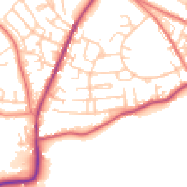
Daytime· 07:00 – 23:00
52.1dB

Night-time· 23:00 – 07:00
43.3dB