16 Bank Street, Barnsley, S70 4JG
About 16 Bank Street
16 Bank Street is an end-of-terrace house in Barnsley (S70 4JG). It has a recorded floor area of 60 m² (around 646 sq ft), construction records dating it to 1900-1929 and council tax band A. The latest certificate (March 2015) shows a D (score 57), a step below the typical UK home. When first surveyed in May 2009 the rating was E, the property has climbed 1 band since. Between certificates, hot-water efficiency went from Average to Good and main heating went from Average to Good. The recommended improvements would lift it to B (score 85), a 2-band jump. The latest certificate is from March 2015, so improvements made since then won't be reflected.
Today's modelled estimate of £116,000 sits 146.8% above the 2016 sale of £47,000. On the market in March 2016 and unlisted since — roughly 10 years.
Know exactly what you're buying at 16 Bank Street
Before you offer, see what the listing won't tell you, the true value, the red flags and the full history.
Already flagged here
Valuation
against the asking price
Risks
planning & flood
Sold prices
similar homes nearby
Trends
the local market
Energy performance
Recommended upgrades on file would lift this property by multiple EPC bands.
EPC Expired
This certificate is over 10 years old and is no longer valid.Expired 26 Mar 2025
EPC Rating
Property Improvements
Changes detected from historical EPC data
Hot water efficiency improved
More low energy lighting installed
Planning history
16 Bank Street has no planning applications on record.
Notable planning nearby
7applications of note in the surrounding area
We flagged 2 things worth checking at 16 Bank Street
Independent checks surfaced things a buyer would want to understand before offering. The report explains each one in full, with the underlying data and what to ask.
- Signs of HMO activity in the area
- Larger development activity nearby
30-day money-back guarantee
Sales history & valuation
16 Bank Street valuation sits well clear of the typical sold price in this postcode.
£116,000
Modelled from EPC, postcode comparables.
£47,000
Recorded with HM Land Registry.
Sales timeline
31 March 2016Most recent
£47,000
Median price across the last 5 sales in S70 4JG: £66,000 (2025–2023).
Everything we know about 16 Bank Street, in one report
What it's really worth, what could be wrong, and the planning, sales and area data in full.
What we flagged
- Signs of HMO activity in the area
- Larger development activity nearby

Versus other Bank Street homes
16 Bank Street outperforms the street on years held by a wide margin.
Price per m²
£783
Street avg £962
Floor Area
60 m²
Street avg 62 m²
Habitable Rooms
4 rooms
Street avg 4 rooms
CO₂ Emissions
3.6 t/year
Street avg 3.4 t/year
Similar properties nearby
The neighbourhood at a glance
Reported crime in the wider district is trending notably upward year-on-year.
Crime
5/mo
Rising year-on-year across the wider district.
Nearest stop
0.2 km
Warren Quarry Lane/Essex Road — bus stop.
Closest school
0.4 km
Worsbrough Common Primary School. 23 schools nearby.
Go deeper on the local area
The full report breaks down crime, transport links, schools and air quality in depth.
Road noise across the postcode
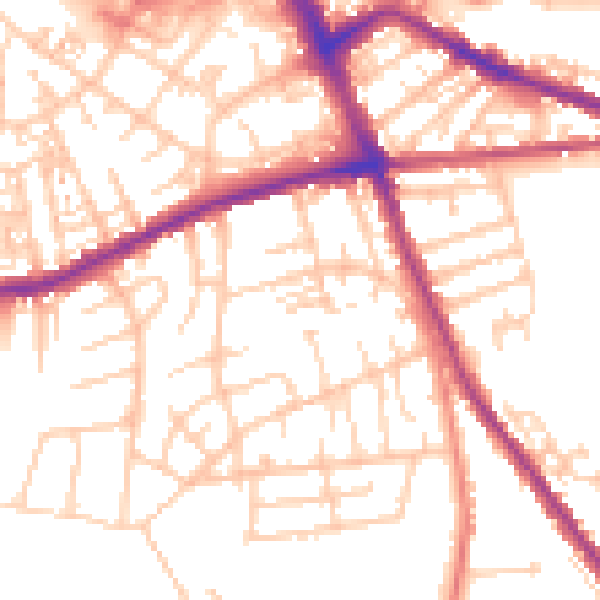
Daytime· 07:00 – 23:00
53.1dB

Night-time· 23:00 – 07:00
42.9dB