7 Burntwood Close, Thurnscoe, Rotherham, S63 0QQ
About 7 Burntwood Close
7 Burntwood Close is a detached house in Thurnscoe, Rotherham, Rotherham (S63 0QQ). It has a recorded floor area of 55 m² (around 592 sq ft), construction records dating it to 1991-1995 and council tax band A. The latest certificate (March 2015) shows a D (score 58), a step below the typical UK home. The recommended improvements would lift it to B (score 84), a 2-band jump. The latest certificate is from March 2015, so improvements made since then won't be reflected.
Across 2000–2015, sale prices on this property compounded at 3.9% per year. Today's modelled estimate of £149,000 sits 98.7% above the 2015 sale of £75,000. On a £-per-square-foot basis, the last sale (£127/sq ft) was about 67.7% above the typical sold price in the postcode. 2 planning records sit against the property, 1 approved, 1 refused. Past consents include an extension, meaningful when judging how the property has evolved. On the market in May 2015 and unlisted since — roughly 11 years. At 55 m² it's 22.5% smaller than the typical home in the postcode (71 m² median across 11 EPCs).
Everything you need to know about 7 Burntwood Close
The true value, the hidden risks and the full sale history, in one report.
Pick your report · every report is £14.99
One time fee only - money back guarantee

The data behind every report


Energy performance
Recommended upgrades on file would lift this property by multiple EPC bands.
EPC Expired
This certificate is over 10 years old and is no longer valid.Expired 04 Mar 2025
EPC Rating
Get a survey for this property
Level 2 HomeBuyer Report
We've checked 10 risk factors against the available data for this property and believe a Level 2 HomeBuyer Report could be a suitable option for you.
From £495 · Includes VAT
Planning history
Planning history includes recorded demolition works, indicating a major rebuild phase at this address.
2 applications on record at 7 Burntwood Close, Thurnscoe, Rotherham, S63 0QQ
- May 2018DemolitionFullOutcome in report
Erection of detached garage with store above and erection of boundary fencing and demolition of existing garage.
- Documents
- 6 docs on file
- Reference
- 2018/0245
- More recent applications — locked
- ExtensionJun 2020Decision
Unlock 7 Burntwood Close, Thurnscoe, Rotherham, S63 0QQ's full planning history
You're seeing the shape of it. The report has the substance.
- Every decision — granted, refused or withdrawn (2 on record)
- All 2 applications on this property in full, plus 3 notable nearby
- The 8 documents, officer reports & conditions
- What the pattern means for extending or converting here
One time fee only - money back guarantee
Sales history & valuation
7 Burntwood Close's estimated value is more than triple its earliest registered sale price (2000).
£149,000
Modelled from EPC, postcode comparables and a sale-price growth of 3.9% per year over 15 years.
£75,000
Growth on file: 3.9% per year over 15 years.
Sales timeline
14 May 2015Most recent
£75,000
+18.1%over 11 years19 June 2003
£63,500
+51.4%over 3 years30 March 2000
£41,950
Median price across the last 5 sales in S63 0QQ: £135,000 (2024–2012).
Nearby sales in S63 0QQ
15 Burntwood Close, Thurnscoe, Rotherham, S63 0QQ
Sold Jan 2024
£165,0003 Burntwood Close, Thurnscoe, Rotherham, S63 0QQ
Sold Aug 2021
£135,00017 Burntwood Close, Thurnscoe, Rotherham, S63 0QQ
Sold Mar 2018
£188,0009 Burntwood Close, Thurnscoe, Rotherham, S63 0QQ
Sold Dec 2012
£112,5001 Burntwood Close, Thurnscoe, Rotherham, S63 0QQ
Sold Apr 2006
£88,500
Versus other Burntwood Close homes
7 Burntwood Close is notably below the street on floor area.
Price per m²
£1,364
Street avg £1,268
Floor Area
55 m²
Street avg 75 m²
Habitable Rooms
4 rooms
Street avg 5 rooms
CO₂ Emissions
3.4 t/year
Street avg 3.5 t/year
Everything you need to know about 7 Burntwood Close
The true value, the hidden risks and the full sale history, in one report.
Pick your report · every report is £14.99
One time fee only - money back guarantee
The data behind every report
Similar properties nearby
1 Blossom Way, Thurnscoe
S63 0AS
1 Beechlea, Thurnscoe
S63 0NZ
1 Ashlea, Thurnscoe
S63 0GY
1 Acorn Avenue, Thurnscoe
S63 0AU
1 Briton Square, Thurnscoe
S63 0HQ
1 Chapel Close, Thurnscoe
S63 0EP
1 Clayton Avenue, Thurnscoe
S63 0RY
1 Church Walk, Thurnscoe
S63 0QU
The neighbourhood at a glance
Rail-style transport is unusually close for this postcode.
Crime
6/mo
Steady year-on-year across the wider district.
Nearest stop
0.5 km
High Street/Togo Street — bus stop.
Closest school
0.9 km
Highgate Primary Academy. 10 schools nearby.
Go deeper on the local area
A Local Area report breaks down crime, transport links, schools and air quality in depth.
Road noise across the postcode
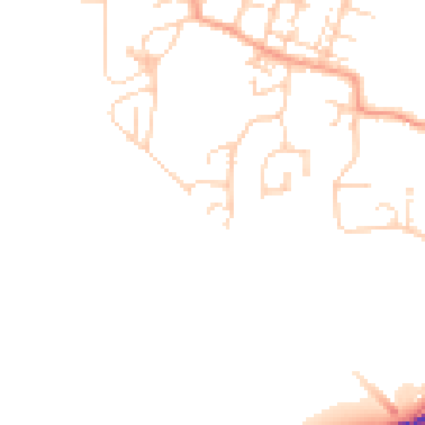
Daytime· 07:00 – 23:00
46.7dB

Night-time· 23:00 – 07:00
39.2dB