22 Boynton Crescent, Sheffield, S5 7HH
About 22 Boynton Crescent
22 Boynton Crescent is a two-bedroom semi-detached house in Sheffield (S5 7HH). It has a recorded floor area of 64 m² (around 689 sq ft), construction records dating it to 1930-1949 and council tax band A. The latest certificate (April 2014) shows a D (score 59), a step below the typical UK home. The recommended improvements would push it to C (score 79). The latest certificate is from April 2014, so improvements made since then won't be reflected. Records show the property has been extended at some point in its history.
Today's modelled estimate of £133,000 sits 77.3% above the 2014 sale of £75,000. On the market in August 2014 and unlisted since — roughly 12 years.
What this property has
Inside
- Bedrooms2
- Dining roomYes
Outside
- Private gardenFront and rear
- GarageDetached
Building
- Previously extendedYes
- RefurbishedYes
Everything you need to know about 22 Boynton Crescent
The true value, the hidden risks and the full sale history, in one report.
30-day money-back guarantee

The data behind every report


Energy performance
22 Boynton Crescent's EPC is over a decade old — improvements since won't be reflected.
EPC Expired
This certificate is over 10 years old and is no longer valid.Expired 28 Apr 2024
EPC Rating
Get a survey for this property
Level 3 Building Survey
Because the property has been extended more than once, we believe a Level 3 building survey should be considered.
From £820 · Includes VAT
Planning history
22 Boynton Crescent has no planning applications on record.
Notable planning nearby
2applications of note in the surrounding area
Sales history & valuation
22 Boynton Crescent valuation sits well clear of the typical sold price in this postcode.
£133,000
Modelled from EPC, postcode comparables.
£75,000
Recorded with HM Land Registry.
Sales timeline
7 August 2014Most recent
£75,000
Median price across the last 5 sales in S5 7HH: £69,000 (2023–2017).
Nearby sales in S5 7HH
Versus other Boynton Crescent homes
22 Boynton Crescent is notably below the street on epc rating.
Price per m²
£1,172
Street avg £1,161
Floor Area
64 m²
Street avg 63 m²
Habitable Rooms
4 rooms
Street avg 4 rooms
CO₂ Emissions
3.5 t/year
Street avg 2.6 t/year
Everything you need to know about 22 Boynton Crescent
The true value, the hidden risks and the full sale history, in one report.
30-day money-back guarantee
The data behind every report
Similar properties nearby
The neighbourhood at a glance
Crime
13/mo
Steady year-on-year across the wider district.
Nearest stop
0.1 km
Shirecliffe Road/Herries Road — bus stop.
Closest school
0.2 km
E-ACT Pathways Academy. 41 schools nearby.
Go deeper on the local area
The full report breaks down crime, transport links, schools and air quality in depth.
Road noise across the postcode
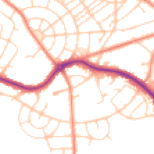
Daytime· 07:00 – 23:00
51.3dB

Night-time· 23:00 – 07:00
40.4dB