8 Cannon Hall Road, Sheffield, S5 7AL
About 8 Cannon Hall Road
8 Cannon Hall Road is a detached house in Sheffield (S5 7AL). It has a recorded floor area of 46 m² (around 495 sq ft), construction records dating it to 1950-1966 and council tax band A. At 46 m² this is the 5th smallest of 43 units on EPC record in the building, where floor areas span 26–158 m². The building's EPC ratings span E to B, with this unit at the bottom. The latest certificate (March 2020) shows an E (score 53), well below the UK norm with real room to improve. The rating has held steady at E across 3 certificates since August 2010. Between certificates, lighting went from Very Poor to Very Good and main heating went from Poor to Average; while wall efficiency dropped from Good to Average. The recommended improvements would lift it to C (score 72), a 2-band jump. Main heating runs on electricity.
At 46 m² it's 27.6% smaller than the typical home in the postcode (64 m² median across 42 EPCs). It lags the bulk of the postcode on energy efficiency (less efficient than 81% of similar EPCs).
Everything you need to know about 8 Cannon Hall Road
The true value, the hidden risks and the full sale history, in one report.
30-day money-back guarantee

The data behind every report


Energy performance
Recommended upgrades on file would lift this property by multiple EPC bands.
EPC Rating
Property Improvements
Changes detected from historical EPC data
Cavity wall insulation installed
More low energy lighting installed
Planning history
8 Cannon Hall Road has no planning applications on record.
Notable planning nearby
2applications of note in the surrounding area
Sales history & valuation
8 Cannon Hall Road has no Land Registry sales on file, suggesting it has stayed in the same hands since registration began.
£128,000
Modelled from EPC, postcode comparables.
No sales recorded with HM Land Registry
That can mean the property has never traded since the registry began publishing in 1995, was a new build that hasn't been registered yet, or is held in the same hands long-term.
Median price across the last 5 sales in S5 7AL: £98,000 (2025–2020).
Nearby sales in S5 7AL
Versus other Cannon Hall Road homes
On epc rating, 8 Cannon Hall Road runs well behind the street norm.
EPC Rating
53 (E)
Street avg 68 (D)
Floor Area
46 m²
Street avg 52 m²
CO₂ Emissions
4.7 t/year
Street avg 2.4 t/year
Habitable Rooms
2 rooms
Street avg 2 rooms
Everything you need to know about 8 Cannon Hall Road
The true value, the hidden risks and the full sale history, in one report.
30-day money-back guarantee
The data behind every report
Similar properties nearby
The neighbourhood at a glance
Crime
13/mo
Steady year-on-year across the wider district.
Nearest stop
0.1 km
Barnsley Road/Crabtree Close — bus stop.
Closest school
0.5 km
Oasis Academy Fir Vale. 34 schools nearby.
Go deeper on the local area
The full report breaks down crime, transport links, schools and air quality in depth.
Road noise across the postcode
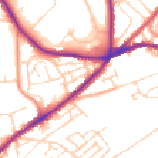
Daytime· 07:00 – 23:00
52.9dB

Night-time· 23:00 – 07:00
42.8dB