Skip to content

63 Cannon Hall Road, Sheffield, S5 7AL

Property type
Semi-detached
Bedrooms
3
Floor area
65 m²
700 sq ft
Energy rating
C
Score 69
Council tax
Band A
Tenure
Owner Occupied
Overview

About 63 Cannon Hall Road

A plain-English summary derived from public records, EPC certificates, sold prices and local data.

63 Cannon Hall Road is a three-bedroom semi-detached house in Sheffield (S5 7AL). It has a recorded floor area of 65 m² (around 700 sq ft), construction records dating it to 1991-1995 and council tax band A. The latest certificate (November 2019) shows a C (score 69), just inside the C band. When first surveyed in November 2009 the rating was D, the property has climbed 1 band since. The recommended improvements would push it to B (score 84).

Today's modelled estimate of £167,000 is 36.3% above the 2021 sale price. On a £-per-square-foot basis, the last sale (£175/sq ft) was about 83.3% above the typical sold price in the postcode. Sold July 2021 for £122,500. That sale was during the post-pandemic price surge, when transactions cleared materially above pre-2020 trend.

Specifications

What this property has

Pulled from EPC certificates, claim submissions and our property model. Empty categories are hidden — we only show what's known.

Inside

  • Bedrooms3

Outside

  • Private gardenYes
  • GarageYes
Before you decide

Everything you need to know about 63 Cannon Hall Road

The true value, the hidden risks and the full sale history, in one report.

£14.99one-off

30-day money-back guarantee

Preview of the full property report

The data behind every report

  • HM Land Registry, source of sold price history
  • Department for Education, source of schools data
  • Police.uk, source of crime statistics
  • Department for Transport, source of stations and transport links
  • Environment Agency, source of flood risk data
  • Department for Environment, Food & Rural Affairs, source of road noise data
  • PlanIt, source of planning application records
Energy

Energy performance

Every EPC certificate filed against this property — current rating, recorded improvements, and where there's headroom to reach a higher band.
Current Certificate(1 of 2)
Nov 2019

EPC Rating

A
B
C
C69
D
E
F
G
Main Heating
Gas
Main Fuel
Gas
Hot Water
Good
Windows
Average
CO2 Emissions
2.7 t/year
Occupancy
Owner Occupied

Property Improvements

Changes detected from historical EPC data

Nov 2019from Nov 2009
EPC improved fromD67toC69
Heating Controls
Prog + StatFull

Heating controls upgraded for better temperature management

Roof Insulation
InsulatedWell Insulated

Loft insulation upgraded to recommended levels

Planning

Planning history

Applications and permits filed against 63 Cannon Hall Road, Sheffield, S5 7AL, sourced from the PlanIt planning register.

63 Cannon Hall Road has no planning applications on record.

Notable planning nearby

2applications of note in the surrounding area

Price

Sales history & valuation

Recorded transactions, our model's current estimate, and a quick read on what neighbouring properties have sold for.

The latest sale landed in the post-pandemic price surge — useful context when reading the figure.

Current estimate

£167,000

Modelled from EPC, postcode comparables.

See how we calculated this
Last sold (2021)

£122,500

Recorded with HM Land Registry.

Sales timeline

  1. 25 July 2021Most recent

    £122,500

Median price across the last 5 sales in S5 7AL: £98,000 (2025–2019).

On the street

Versus other Cannon Hall Road homes

Four headline reads against 25 similar houses on this street, drawn from the latest EPC and Land Registry data.

Price per m² for 63 Cannon Hall Road runs comfortably ahead of the street norm.

Price per m²

£1,885

Street avg £1,155

Strongly above

Floor Area

65 m²

Street avg 104 m²

On par

Habitable Rooms

4 rooms

Street avg 6 rooms

Below

CO₂ Emissions

2.7 t/year

Street avg 5.8 t/year

Strongly above
Before you decide

Everything you need to know about 63 Cannon Hall Road

The true value, the hidden risks and the full sale history, in one report.

£14.99one-off

30-day money-back guarantee

Preview of the full property report

The data behind every report

  • HM Land Registry, source of sold price history
  • Department for Education, source of schools data
  • Police.uk, source of crime statistics
  • Department for Transport, source of stations and transport links
  • Environment Agency, source of flood risk data
  • Department for Environment, Food & Rural Affairs, source of road noise data
  • PlanIt, source of planning application records
Area

The neighbourhood at a glance

A condensed read of the local area. Each tile links through to the full breakdown on the Sheffield district page.

Crime

13/mo

Steady year-on-year across the wider district.

Nearest stop

0.1 km

Barnsley Road/Crabtree Close — bus stop.

Closest school

0.5 km

Oasis Academy Fir Vale. 34 schools nearby.

Go deeper on the local area

The full report breaks down crime, transport links, schools and air quality in depth.

Noise

Road noise across the postcode

Modelled day and night-time noise levels around S5 7AL from Defra's strategic mapping. The pin marks this postcode's centroid.
Daytime road noise heatmap for S5 7AL

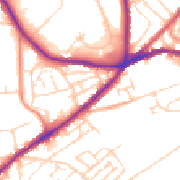
Daytime· 07:00 – 23:00

52.9dB

Low
Night-time road noise heatmap for S5 7AL

Night-time· 23:00 – 07:00

42.8dB

Low
55 dB
60 dB
65 dB
70 dB
75 dB
80 dB
Defra Road Noise Strategic Mapping, Round 4
FAQ

Common questions

The questions buyers, sellers and homeowners most often ask about 63 Cannon Hall Road, Sheffield, S5 7AL. Each answer is also embedded as structured data for search engines.