33 Cannon Hall Road, Sheffield, S5 7AL
About 33 Cannon Hall Road
33 Cannon Hall Road is a semi-detached house in Sheffield (S5 7AL). It has a recorded floor area of 58 m² (around 620 sq ft), construction records dating it to 1930-1949 and council tax band A. The latest certificate (June 2009) shows a D (score 58), a step below the typical UK home. The recommended improvements would push it to C (score 72). The latest certificate is from June 2009, so improvements made since then won't be reflected.
Most recent transfer was January 2025 at £98,000 — fresh data. Across the public record there are 5 sales, relatively high churn for a single property. Across 2000–2025, sale prices on this property compounded at 5.7% per year. Today's modelled estimate of £139,000 is 41.8% above the 2025 sale price. On a £-per-square-foot basis, the last sale (£158/sq ft) was about 60.7% above the typical sold price in the postcode.
Everything you need to know about 33 Cannon Hall Road
The true value, the hidden risks and the full sale history, in one report.
30-day money-back guarantee

The data behind every report


Energy performance
33 Cannon Hall Road's EPC is over a decade old — improvements since won't be reflected.
EPC Expired
This certificate is over 10 years old and is no longer valid.Expired 25 Jun 2019
EPC Rating
Planning history
33 Cannon Hall Road has no planning applications on record.
Notable planning nearby
2applications of note in the surrounding area
Sales history & valuation
33 Cannon Hall Road has more than tripled in price since its earliest registered sale in 2000.
£139,000
Modelled from EPC, postcode comparables and a sale-price growth of 5.7% per year over 25 years.
£98,000
Growth on file: 5.7% per year over 25 years.
Sales timeline
6 January 2025Most recent
£98,000
+17.4%over 6 years11 October 2018
£83,500
+39.2%over 8 years15 October 2009
£60,000
+80.5%over 7 years12 August 2002
£33,250
+33.0%over 2 years30 March 2000
£25,000
Median price across the last 5 sales in S5 7AL: £122,500 (2023–2019).
Nearby sales in S5 7AL
Versus other Cannon Hall Road homes
33 Cannon Hall Road is notably below the street on years held.
Price per m²
£1,700
Street avg £1,166
Floor Area
58 m²
Street avg 104 m²
Habitable Rooms
3 rooms
Street avg 6 rooms
CO₂ Emissions
3.9 t/year
Street avg 5.8 t/year
Everything you need to know about 33 Cannon Hall Road
The true value, the hidden risks and the full sale history, in one report.
30-day money-back guarantee
The data behind every report
Similar properties nearby
The neighbourhood at a glance
Crime
13/mo
Steady year-on-year across the wider district.
Nearest stop
0.1 km
Barnsley Road/Crabtree Close — bus stop.
Closest school
0.5 km
Oasis Academy Fir Vale. 34 schools nearby.
Go deeper on the local area
The full report breaks down crime, transport links, schools and air quality in depth.
Road noise across the postcode
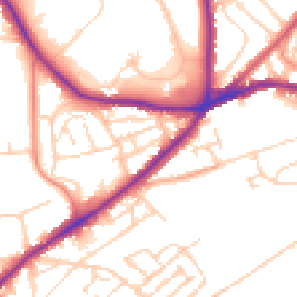
Daytime· 07:00 – 23:00
52.9dB

Night-time· 23:00 – 07:00
42.8dB