69 Nethershire Lane, Sheffield, S5 0QD
About 69 Nethershire Lane
69 Nethershire Lane is a three-bedroom semi-detached house in Sheffield (S5 0QD). It has a recorded floor area of 69 m² (around 743 sq ft), construction records dating it to 1930-1949 and council tax band A. Tenure is freehold. The latest certificate (January 2022) shows a C (score 70). When first surveyed in September 2013 the rating was D, the property has climbed 1 band since. Between certificates, wall efficiency went from Poor to Average. The recommended improvements would push it to B (score 85). The property has solar panels on record, all of which lower running costs and tend to lift resale appeal.
Untraded for 15 years, with the last transfer in February 2011. Today's modelled estimate of £134,000 sits 123.3% above the 2011 sale of £60,000. On a £-per-square-foot basis, the last sale (£81/sq ft) was about 23.1% below the postcode norm.
What this property has
Inside
- Bedrooms3
- Bathrooms1
Building
- TenureFreehold
- Solar panelsYes
Everything you need to know about 69 Nethershire Lane
The true value, the hidden risks and the full sale history, in one report.
30-day money-back guarantee

The data behind every report


Energy performance
EPC Rating
Property Improvements
Changes detected from historical EPC data
Cavity wall insulation installed
Loft insulation upgraded to recommended levels
Get a survey for this property
Level 2 HomeBuyer Report
We've checked 10 risk factors against the available data for this property and believe a Level 2 HomeBuyer Report could be a suitable option for you.
From £495 · Includes VAT
Planning history
69 Nethershire Lane has no planning applications on record.
The full report still covers planning activity across the surrounding area.
Sales history & valuation
69 Nethershire Lane valuation sits well clear of the typical sold price in this postcode.
£134,000
Modelled from EPC, postcode comparables.
£60,000
Recorded with HM Land Registry.
Sales timeline
10 February 2011Most recent
£60,000
Median price across the last 5 sales in S5 0QD: £81,000 (2025–2019).
Nearby sales in S5 0QD
Versus other Nethershire Lane homes
On price per m², 69 Nethershire Lane runs well behind the street norm.
Price per m²
£870
Street avg £1,322
Floor Area
69 m²
Street avg 71 m²
Habitable Rooms
4 rooms
Street avg 4 rooms
CO₂ Emissions
2.7 t/year
Street avg 2.9 t/year
Everything you need to know about 69 Nethershire Lane
The true value, the hidden risks and the full sale history, in one report.
30-day money-back guarantee
The data behind every report
Similar properties nearby
The neighbourhood at a glance
Crime
13/mo
Steady year-on-year across the wider district.
Nearest stop
0.1 km
Nether Shire Lane/Hartley Brook Road — bus stop.
Closest school
0.4 km
Hartley Brook Primary School. 31 schools nearby.
Go deeper on the local area
The full report breaks down crime, transport links, schools and air quality in depth.
Road noise across the postcode
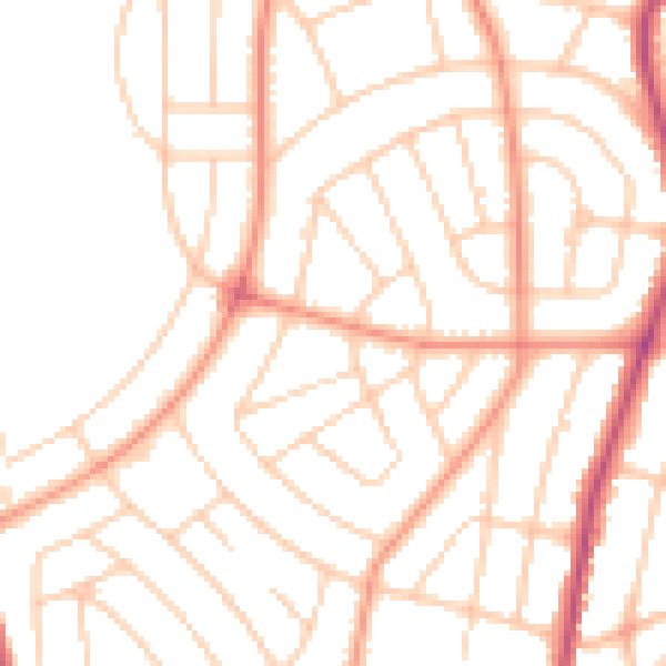
Daytime· 07:00 – 23:00
50.8dB

Night-time· 23:00 – 07:00
39.5dB