7 Dowland Court, High Green, Sheffield, S35 4LB
About 7 Dowland Court
7 Dowland Court is a property in High Green, Sheffield, Sheffield (S35 4LB). It has council tax band C.
Held since November 2001 — that's 25 years off the open market, well above the local norm. Across 1998–2001, sale prices on this property compounded at 10.6% per year.
Know exactly what you're buying at 7 Dowland Court
Before you offer, see what the listing won't tell you, the true value, the red flags and the full history.
Valuation
against the asking price
Risks
planning & flood
Sold prices
similar homes nearby
Trends
the local market
Energy performance
No EPC on record
This property doesn't have an Energy Performance Certificate yet. An EPC is required to sell or let — and unlocks our automated valuation.
Planning history
7 Dowland Court has no planning applications on record.
Notable planning nearby
1applications of note in the surrounding area
Sales history & valuation
£76,000
Growth on file: 10.6% per year over 4 years.
Sales timeline
16 November 2001Most recent
£76,000
+43.4%over 3 years20 April 1998
£53,000
Median price across the last 5 sales in S35 4LB: £161,000 (2023–2009).
Nearby sales in S35 4LB
18 Dowland Court, High Green, Sheffield, S35 4LB
Sold Jun 2023
£262,0006 Dowland Court, High Green, Sheffield, S35 4LB
Sold May 2015
£150,0001 Dowland Court, High Green, Sheffield, S35 4LB
Sold Oct 2012
£110,0009 Dowland Court, High Green, Sheffield, S35 4LB
Sold Jun 2012
£175,0002 Dowland Court, High Green, Sheffield, S35 4LB
Sold Jan 2009
£161,000
Everything we know about 7 Dowland Court, in one report
What it's really worth, what could be wrong, and the planning, sales and area data in full.
- Am I paying too much?
- Is something wrong with it?
- Is the agent's story true?
- Will it hold its value?

Similar properties nearby
1 Birkbeck Court, High Green
S35 4NW
1 Caldbeck Grove, High Green
S35 4NR
1 Dowland Court, High Green
S35 4LB
1 Darwall Close, High Green
S35 4NZ
1 Chapel Road, High Green
S35 4GH
1 Blackthorn Close, High Green
S35 4FL
1 Crofton Rise, High Green
S35 4FX
1 Crossfield Gardens, High Green
S35 4ND
The neighbourhood at a glance
Crime
2/mo
Steady year-on-year across the wider district.
Nearest stop
0.3 km
Wortley Road/Westwood Road — bus stop.
Closest school
0.3 km
High Green Primary School. 10 schools nearby.
Go deeper on the local area
The full report breaks down crime, transport links, schools and air quality in depth.
Road noise across the postcode
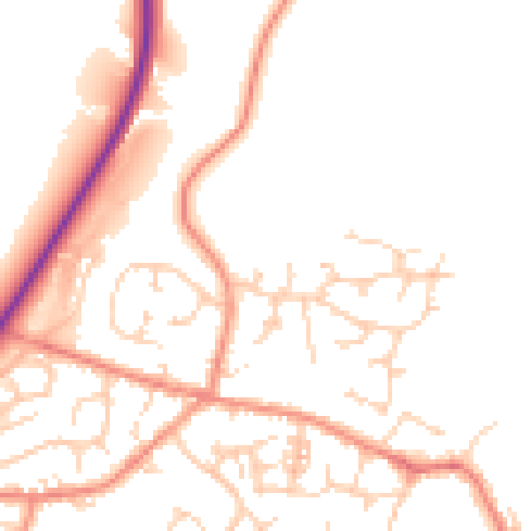
Daytime· 07:00 – 23:00
50.1dB

Night-time· 23:00 – 07:00
40.7dB