11 Arundel Road, Chapeltown, Sheffield, S35 2RB
About 11 Arundel Road
11 Arundel Road is a property in Chapeltown, Sheffield, Sheffield (S35 2RB). It has council tax band A.
Energy performance
No EPC on record
This property doesn't have an Energy Performance Certificate yet. An EPC is required to sell or let — and unlocks our automated valuation.
Planning history
No planning applications are recorded against 11 Arundel Road, Chapeltown, Sheffield, S35 2RB. The full report also covers planning activity across the surrounding area.
Sales history & valuation
No sales recorded with HM Land Registry
That can mean the property has never traded since the registry began publishing in 1995, was a new build that hasn't been registered yet, or is held in the same hands long-term.
Median price across the last 5 sales in S35 2RB: £145,000 (2024–2018).
Nearby sales in S35 2RB
15 Arundel Road, Chapeltown, Sheffield, S35 2RB
Sold Oct 2024
£160,0007 Arundel Road, Chapeltown, Sheffield, S35 2RB
Sold Sept 2021
£186,22523 Arundel Road, Chapeltown, Sheffield, S35 2RB
Sold Jan 2020
£145,0003 Arundel Road, Chapeltown, Sheffield, S35 2RB
Sold Dec 2018
£86,50017 Arundel Road, Chapeltown, Sheffield, S35 2RB
Sold Jun 2002
£53,950
Similar properties nearby
1 Aire Close, Chapeltown
S35 2EP
1 Arncliffe Drive, Chapeltown
S35 2BS
1 Arundel Road, Chapeltown
S35 2RB
1 Astwell Gardens, Chapeltown
S35 2ZH
1 Avon Grove, Chapeltown
S35 2XU
1 Backfield Rise, Chapeltown
S35 2YR
1 Bents Close, Chapeltown
S35 2RJ
1 Blackburn Crescent, Chapeltown
S35 2EG
The neighbourhood at a glance
Rail-style transport is unusually close for this postcode.
Crime
2/mo
Steady year-on-year across the wider district.
Nearest stop
0.2 km
Station Road/Commerce Street — bus stop.
Closest school
0.3 km
Lound Junior School. 12 schools nearby.
Road noise across the postcode
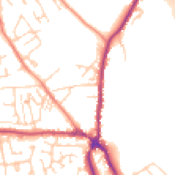
Daytime· 07:00 – 23:00
50.7dB
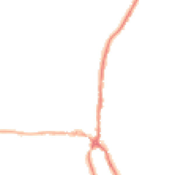
Night-time· 23:00 – 07:00
41.4dB