7 Arundel Road, Chapeltown, Sheffield, S35 2RB
About 7 Arundel Road
7 Arundel Road is a three-bedroom semi-detached house in Chapeltown, Sheffield, Sheffield (S35 2RB). It has a recorded floor area of 119 m² (around 1281 sq ft), construction records dating it to 1900-1929 and council tax band A. The latest certificate (September 2021) shows a D (score 61), on the cusp of jumping into the C band. When first surveyed in December 2020 the rating was E, the property has climbed 1 band since. Between certificates, window efficiency went from Average to Good. The recommended improvements would push it to C (score 78). Other recorded features include a loft.
At 119 m² the property is well over the postcode median (77 m² across 6 EPCs), placing it in the larger end of the local stock. Across 2009–2021, sale prices on this property compounded at 5.9% per year. Today's modelled estimate of £233,000 is 25.1% above the 2021 sale price. On a £-per-square-foot basis, the last sale (£145/sq ft) was about 27.4% above the typical sold price in the postcode. Last sale on file: £186,225 in September 2021. That sale was during the post-pandemic price surge, when transactions cleared materially above pre-2020 trend.
Know exactly what you're buying at 7 Arundel Road
Before you offer, see what the listing won't tell you, the true value, the red flags and the full history.
Already flagged here
Valuation
against the asking price
Risks
planning & flood
Sold prices
similar homes nearby
Trends
the local market
What this property has
Inside
- Bedrooms3
- Bathrooms1
- Dining roomYes
- EnsuiteYes
- LoftYes
Outside
- Private gardenYes
- ParkingOff street
Building
- RefurbishedYes
Energy performance
7 Arundel Road's carbon output runs well above what efficient homes in the postcode produce.
EPC Rating
Property Improvements
Changes detected from historical EPC data
Window efficiency improved
Planning history
7 Arundel Road has no planning applications on record.
Notable planning nearby
1applications of note in the surrounding area
We flagged 1 thing worth checking at 7 Arundel Road
Independent checks surfaced things a buyer would want to understand before offering. The report explains each one in full, with the underlying data and what to ask.
- Larger development activity nearby
30-day money-back guarantee
Sales history & valuation
Latest sale on 7 Arundel Road was the highest on Land Registry record across the postcode.
£233,000
Modelled from EPC, postcode comparables and a sale-price growth of 5.9% per year over 12 years.
£186,225
Growth on file: 5.9% per year over 12 years.
Sales timeline
16 September 2021Most recent
£186,225
+104.2%over 12 years27 April 2009
£91,200
Median price across the last 5 sales in S35 2RB: £127,000 (2024–2003).
Nearby sales in S35 2RB
15 Arundel Road, Chapeltown, Sheffield, S35 2RB
Sold Oct 2024
£160,00023 Arundel Road, Chapeltown, Sheffield, S35 2RB
Sold Jan 2020
£145,0003 Arundel Road, Chapeltown, Sheffield, S35 2RB
Sold Dec 2018
£86,50017 Arundel Road, Chapeltown, Sheffield, S35 2RB
Sold Jun 2002
£53,9509 Arundel Road, Chapeltown, Sheffield, S35 2RB
Sold Oct 1999
£41,500
Everything we know about 7 Arundel Road, in one report
What it's really worth, what could be wrong, and the planning, sales and area data in full.
What we flagged
- Larger development activity nearby

Versus other Arundel Road homes
Floor Area for 7 Arundel Road runs comfortably ahead of the street norm.
Price per m²
£1,565
Street avg £1,440
Floor Area
119 m²
Street avg 85 m²
Habitable Rooms
4 rooms
Street avg 4 rooms
CO₂ Emissions
6.1 t/year
Street avg 4.8 t/year
Similar properties nearby
1 Habershon Drive, Chapeltown
S35 2ZT
1 Chamberlain Court, Chapeltown
S35 2ZU
1 Cotswold Avenue, Chapeltown
S35 2ED
1 Blackburn Crescent, Chapeltown
S35 2EG
1 Chambers Grove, Chapeltown
S35 2TD
1 Chambers Valley Road, Chapeltown
S35 2YF
1 Chambers View, Chapeltown
S35 2TB
1 Dickenson Court, Chapeltown
S35 2ZS
The neighbourhood at a glance
Rail-style transport is unusually close for this postcode.
Crime
2/mo
Steady year-on-year across the wider district.
Nearest stop
0.2 km
Station Road/Commerce Street — bus stop.
Closest school
0.3 km
Lound Junior School. 12 schools nearby.
Go deeper on the local area
The full report breaks down crime, transport links, schools and air quality in depth.
Road noise across the postcode
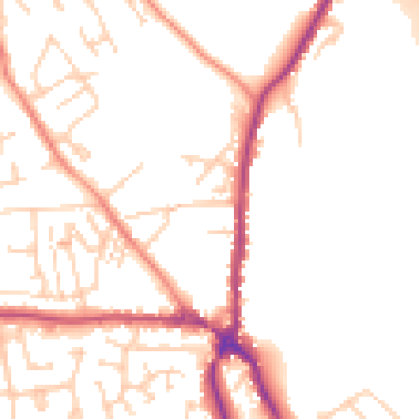
Daytime· 07:00 – 23:00
50.7dB
Night-time· 23:00 – 07:00
41.4dB