15 Mackenzie Crescent, Burncross, Sheffield, S35 1UR
About 15 Mackenzie Crescent
15 Mackenzie Crescent is a property in Burncross, Sheffield, Sheffield (S35 1UR). It has council tax band B.
Untraded for 31 years, with the last transfer in October 1995. Only one transfer is on record with HM Land Registry, suggesting it has stayed in the same hands for a long time.
Know exactly what you're buying at 15 Mackenzie Crescent
Before you offer, see what the listing won't tell you, the true value, the red flags and the full history.
Valuation
against the asking price
Risks
planning & flood
Sold prices
similar homes nearby
Trends
the local market
Energy performance
No EPC on record
This property doesn't have an Energy Performance Certificate yet. An EPC is required to sell or let — and unlocks our automated valuation.
Planning history
15 Mackenzie Crescent has no planning applications on record.
The full report still covers planning activity across the surrounding area.
Sales history & valuation
15 Mackenzie Crescent has been held in the same hands since before 2000.
£45,500
Recorded with HM Land Registry.
Sales timeline
5 October 1995Most recent
£45,500
Median price across the last 5 sales in S35 1UR: £215,000 (2024–2021).
Nearby sales in S35 1UR
17 Mackenzie Crescent, Burncross, Sheffield, S35 1UR
Sold Oct 2024
£205,00041 Mackenzie Crescent, Burncross, Sheffield, S35 1UR
Sold Nov 2023
£197,00061 Mackenzie Crescent, Burncross, Sheffield, S35 1UR
Sold Nov 2023
£230,0007 Mackenzie Crescent, Burncross, Sheffield, S35 1UR
Sold Feb 2023
£225,00049 Mackenzie Crescent, Burncross, Sheffield, S35 1UR
Sold Dec 2021
£215,000
Everything we know about 15 Mackenzie Crescent, in one report
What it's really worth, what could be wrong, and the planning, sales and area data in full.
- Am I paying too much?
- Is something wrong with it?
- Is the agent's story true?
- Will it hold its value?

Similar properties nearby
1 Acacia Avenue, Chapeltown
S35 1PQ
1 Albany Avenue, Chapeltown
S35 1RA
1 Ash View, Chapeltown
S35 1ZD
1 Barnes Hall Road, Burncross
S35 1RE
1 Bentley Road, Chapeltown
S35 1RH
1 Berry Holme Close, Chapeltown
S35 1AB
1 Berry Holme Court, Chapeltown
S35 1AN
1 Berry Holme Drive, Chapeltown
S35 1AD
The neighbourhood at a glance
Crime
2/mo
Steady year-on-year across the wider district.
Nearest stop
0.3 km
Bracken Hill/Barnes Hall Road — bus stop.
Closest school
0.6 km
Windmill Hill Primary School. 16 schools nearby.
Go deeper on the local area
The full report breaks down crime, transport links, schools and air quality in depth.
Road noise across the postcode
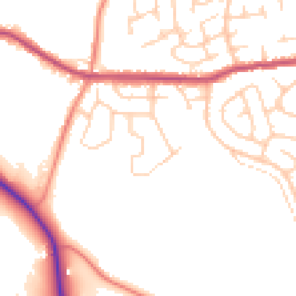
Daytime· 07:00 – 23:00
50.1dB

Night-time· 23:00 – 07:00
41.0dB