4 Birches Fold, Coal Aston, Dronfield, S18 3AG
About 4 Birches Fold
4 Birches Fold is a property in Coal Aston, Dronfield, Dronfield (S18 3AG). It has council tax band A.
Untraded for 20 years, with the last transfer in March 2006.
Know exactly what you're buying at 4 Birches Fold
Before you offer, see what the listing won't tell you, the true value, the red flags and the full history.
Valuation
against the asking price
Risks
planning & flood
Sold prices
similar homes nearby
Trends
the local market
Energy performance
No EPC on record
This property doesn't have an Energy Performance Certificate yet. An EPC is required to sell or let — and unlocks our automated valuation.
Planning history
4 Birches Fold has no planning applications on record.
The full report still covers planning activity across the surrounding area.
Sales history & valuation
£137,000
Recorded with HM Land Registry.
Sales timeline
30 March 2006Most recent
£137,000
Median price across the last 5 sales in S18 3AG: £179,000 (2023–2018).
Nearby sales in S18 3AG
3 Birches Fold, Coal Aston, Dronfield, S18 3AG
Sold Jul 2023
£210,00023 Birches Fold, Coal Aston, Dronfield, S18 3AG
Sold Aug 2021
£195,00027 Birches Fold, Coal Aston, Dronfield, S18 3AG
Sold Dec 2019
£179,00010 Birches Fold, Coal Aston, Dronfield, S18 3AG
Sold Apr 2019
£147,0008 Birches Fold, Coal Aston, Dronfield, S18 3AG
Sold Oct 2018
£176,000
Everything we know about 4 Birches Fold, in one report
What it's really worth, what could be wrong, and the planning, sales and area data in full.
- Am I paying too much?
- Is something wrong with it?
- Is the agent's story true?
- Will it hold its value?

Similar properties nearby
10 Birches Fold, Coal Aston
S18 3AG
1 Wilson Road, Coal Aston
S18 3AD
10 Eckington Road, Coal Aston
S18 3AT
1 Cunliffe Street, Coal Aston
S18 3AF
1 Ferndale Close, Coal Aston
S18 3BR
1 Stone Road, Coal Aston
S18 3AH
10 Barnard Avenue, Coal Aston
S18 3BN
1 Firthwood Avenue, Coal Aston
S18 3BQ
The neighbourhood at a glance
Daytime road noise here sits well below conversation level — a quiet pocket of the postcode.
Crime
5/mo
Steady year-on-year across the wider district.
Nearest stop
0.2 km
Methodist Church — bus stop.
Closest school
0.5 km
Northfield Junior School. 17 schools nearby.
Go deeper on the local area
The full report breaks down crime, transport links, schools and air quality in depth.
Road noise across the postcode
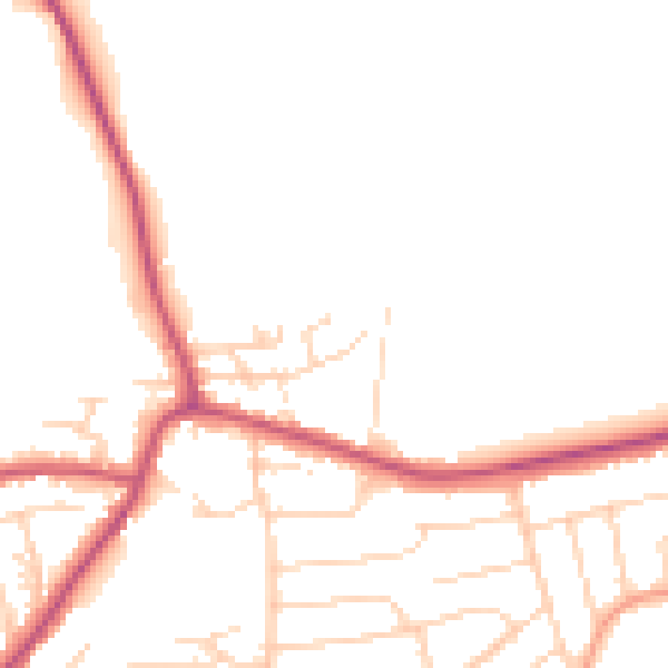
Daytime· 07:00 – 23:00
47.9dB

Night-time· 23:00 – 07:00
39.8dB