9 Cunliffe Street, Coal Aston, Dronfield, S18 3AF
About 9 Cunliffe Street
9 Cunliffe Street is a four-bedroom semi-detached house in Coal Aston, Dronfield, Dronfield (S18 3AF). It has a recorded floor area of 119 m² (around 1281 sq ft), construction records dating it to 1930-1949 and council tax band D. The latest certificate (September 2017) shows a D (score 66), on the cusp of jumping into the C band. The recommended improvements would push it to C (score 80).
At 119 m² the property is well over the postcode median (84 m² across 17 EPCs), placing it in the larger end of the local stock. One planning record on file: an extension approved in 2006. Past consents include an extension, meaningful when judging how the property has evolved. Today's modelled estimate of £431,000 is 42.5% above the 2018 sale price. On a £-per-square-foot basis, the last sale (£236/sq ft) was about 46.7% above the typical sold price in the postcode. Most recent transfer: July 2018 at £302,500.
Know exactly what you're buying at 9 Cunliffe Street
Before you offer, see what the listing won't tell you, the true value, the red flags and the full history.
Valuation
against the asking price
Risks
planning & flood
Sold prices
similar homes nearby
Trends
the local market
What this property has
Inside
- Bedrooms4
- Bathrooms2
Energy performance
EPC Rating
Planning history
Council records include a part-single-part-two-storey front extension at 9 Cunliffe Street.
- May 2006ExtensionFullIn report
Extension: Part single, part two storey · Front of property
Construction of two storey and single storey front extensions
- Documents
- 19 docs on file
- Reference
- 06/00359/FL
What's in 9 Cunliffe Street, Coal Aston, Dronfield, S18 3AF's planning history?
Refusals, disputes and full decisions on this property and nearby, in the report.
Sales history & valuation
9 Cunliffe Street valuation sits well clear of the typical sold price in this postcode.
£431,000
Modelled from EPC, postcode comparables.
£302,500
Recorded with HM Land Registry.
Sales timeline
10 July 2018Most recent
£302,500
Median price across the last 5 sales in S18 3AF: £240,000 (2025–2020).
Nearby sales in S18 3AF
12 Cunliffe Street, Coal Aston, Dronfield, S18 3AF
Sold Jul 2025
£362,0002 Cunliffe Street, Coal Aston, Dronfield, S18 3AF
Sold Dec 2024
£200,0006 Cunliffe Street, Coal Aston, Dronfield, S18 3AF
Sold Apr 2024
£240,00021 Cunliffe Street, Coal Aston, Dronfield, S18 3AF
Sold Mar 2021
£220,0008 Cunliffe Street, Coal Aston, Dronfield, S18 3AF
Sold May 2020
£290,000
Everything we know about 9 Cunliffe Street, in one report
What it's really worth, what could be wrong, and the planning, sales and area data in full.
- Am I paying too much?
- Is something wrong with it?
- Is the agent's story true?
- Will it hold its value?

Versus other Cunliffe Street homes
Floor Area for 9 Cunliffe Street runs comfortably ahead of the street norm.
Price per m²
£2,542
Street avg £2,058
Floor Area
119 m²
Street avg 87 m²
Habitable Rooms
6 rooms
Street avg 5 rooms
CO₂ Emissions
5.1 t/year
Street avg 4.7 t/year
Similar properties nearby
1 Eckington Road, Coal Aston
S18 3AT
1 Firthwood Close, Coal Aston
S18 3DD
1 The Ridgeway, Coal Aston
S18 3BY
1 Westbank Close, Coal Aston
S18 3DE
1 Forresters Lane, Coal Aston
S18 3AN
1 Stone Close, Coal Aston
S18 3AS
1 Ferndale Road, Coal Aston
S18 3BT
1 Thorpe Avenue, Coal Aston
S18 3BB
The neighbourhood at a glance
Daytime road noise here sits well below conversation level — a quiet pocket of the postcode.
Crime
5/mo
Steady year-on-year across the wider district.
Nearest stop
0.1 km
Methodist Church — bus stop.
Closest school
0.5 km
Northfield Junior School. 18 schools nearby.
Go deeper on the local area
The full report breaks down crime, transport links, schools and air quality in depth.
Road noise across the postcode
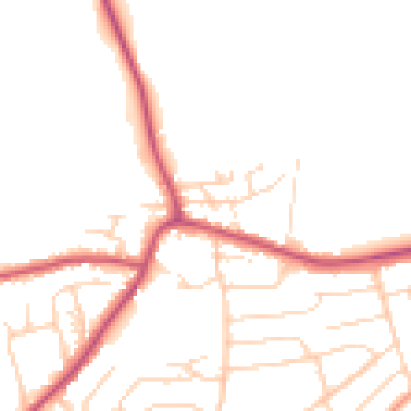
Daytime· 07:00 – 23:00
48.5dB

Night-time· 23:00 – 07:00
40.1dB