2 Cunliffe Street, Coal Aston, Dronfield, S18 3AF
About 2 Cunliffe Street
2 Cunliffe Street is a three-bedroom mid-terrace house in Coal Aston, Dronfield, Dronfield (S18 3AF). It has a recorded floor area of 84 m² (around 904 sq ft), construction records dating it to 1900-1929 and council tax band A. The latest certificate (June 2024) shows a D (score 61), on the cusp of jumping into the C band. The rating has held steady at D across 2 certificates since October 2009. Between certificates, roof efficiency went from Very Poor to Poor and lighting went from Average to Very Good. The recommended improvements would lift it to B (score 86), a 2-band jump.
Most recent transfer was December 2024 at £200,000 — fresh data. Across 1996–2024, sale prices on this property compounded at 8.4% per year. Today's modelled estimate of £238,000 is 19% above the 2024 sale price. On a £-per-square-foot basis, the last sale (£221/sq ft) was about 35.7% above the typical sold price in the postcode.
Know exactly what you're buying at 2 Cunliffe Street
Before you offer, see what the listing won't tell you, the true value, the red flags and the full history.
Valuation
against the asking price
Risks
planning & flood
Sold prices
similar homes nearby
Trends
the local market
What this property has
Inside
- Bedrooms3
- Bathrooms1
Outside
- Private gardenYes
- ParkingOff road
Building
- RefurbishedYes
Energy performance
Recommended upgrades on file would lift this property by multiple EPC bands.
EPC Rating
Property Improvements
Changes detected from historical EPC data
Loft insulation installed or upgraded to 250mm+
More low energy lighting installed
Planning history
2 Cunliffe Street has no planning applications on record.
The full report still covers planning activity across the surrounding area.
Sales history & valuation
Price for 2 Cunliffe Street has grown more than fourfold since the 1996 starting point.
£238,000
Modelled from EPC, postcode comparables and a sale-price growth of 8.4% per year over 28 years.
£200,000
Growth on file: 8.4% per year over 28 years.
Sales timeline
16 December 2024Most recent
£200,000
+60.0%over 14 years19 March 2010
£125,000
+12.9%over 4 years20 October 2005
£110,700
+187.5%over 8 years29 June 1997
£38,500
+83.3%over 7 months15 November 1996
£21,000
Median price across the last 5 sales in S18 3AF: £265,000 (2025–2019).
Nearby sales in S18 3AF
12 Cunliffe Street, Coal Aston, Dronfield, S18 3AF
Sold Jul 2025
£362,0006 Cunliffe Street, Coal Aston, Dronfield, S18 3AF
Sold Apr 2024
£240,00021 Cunliffe Street, Coal Aston, Dronfield, S18 3AF
Sold Mar 2021
£220,0008 Cunliffe Street, Coal Aston, Dronfield, S18 3AF
Sold May 2020
£290,0009 Cunliffe Street, Coal Aston, Dronfield, S18 3AF
Sold Jul 2018
£302,500
Everything we know about 2 Cunliffe Street, in one report
What it's really worth, what could be wrong, and the planning, sales and area data in full.
- Am I paying too much?
- Is something wrong with it?
- Is the agent's story true?
- Will it hold its value?

Versus other Cunliffe Street homes
2 Cunliffe Street is notably below the street on years held.
Price per m²
£2,381
Street avg £2,069
Floor Area
84 m²
Street avg 89 m²
Habitable Rooms
5 rooms
Street avg 5 rooms
CO₂ Emissions
4.4 t/year
Street avg 4.8 t/year
Similar properties nearby
1 Ferndale Close, Coal Aston
S18 3BR
1 Thorpe Avenue, Coal Aston
S18 3BB
1 Ferndale Road, Coal Aston
S18 3BT
1 Stone Close, Coal Aston
S18 3AS
1 Westbank Close, Coal Aston
S18 3DE
1 Stone Road, Coal Aston
S18 3AH
1 The Ridgeway, Coal Aston
S18 3BY
1 Firthwood Close, Coal Aston
S18 3DD
The neighbourhood at a glance
Daytime road noise here sits well below conversation level — a quiet pocket of the postcode.
Crime
5/mo
Steady year-on-year across the wider district.
Nearest stop
0.1 km
Methodist Church — bus stop.
Closest school
0.5 km
Northfield Junior School. 18 schools nearby.
Go deeper on the local area
The full report breaks down crime, transport links, schools and air quality in depth.
Road noise across the postcode
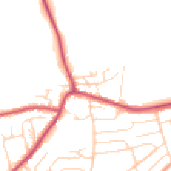
Daytime· 07:00 – 23:00
48.5dB

Night-time· 23:00 – 07:00
40.1dB