4 Burnt Stones Close, Sheffield, S10 5TS
About 4 Burnt Stones Close
4 Burnt Stones Close is a detached house in Sheffield (S10 5TS). It has a recorded floor area of 165 m² (around 1776 sq ft), construction records dating it to 1950-1966 and council tax band F. The latest certificate (July 2014) shows an E (score 53), well below the UK norm with real room to improve. The recommended improvements would lift it to B (score 81), a 3-band jump. The latest certificate is from July 2014, so improvements made since then won't be reflected.
It lags the bulk of the postcode on energy efficiency (less efficient than 85% of similar EPCs).
Everything you need to know about 4 Burnt Stones Close
The true value, the hidden risks and the full sale history, in one report.
Pick your report · every report is £14.99
One time fee only - money back guarantee

The data behind every report


Energy performance
4 Burnt Stones Close's carbon output runs well above what efficient homes in the postcode produce.
EPC Expired
This certificate is over 10 years old and is no longer valid.Expired 22 Jul 2024
EPC Rating
Get a survey for this property
Level 2 HomeBuyer Report
We've checked 10 risk factors against the available data for this property and believe a Level 2 HomeBuyer Report could be a suitable option for you.
From £895 · Includes VAT
Planning history
4 Burnt Stones Close has no planning applications on record.
But the area is active
2 notable applications nearby — larger schemes and conversions that could reshape the street. The report maps them all.
Sales history & valuation
4 Burnt Stones Close has no Land Registry sales on file, suggesting it has stayed in the same hands since registration began.
£608,000
Modelled from EPC, postcode comparables.
No sales recorded with HM Land Registry
That can mean the property has never traded since the registry began publishing in 1995, was a new build that hasn't been registered yet, or is held in the same hands long-term.
Median price across the last 5 sales in S10 5TS: £600,000 (2024–2017).
Nearby sales in S10 5TS
23 Burnt Stones Close, Sheffield, S10 5TS
Sold Sept 2024
£600,00018 Burnt Stones Close, Sheffield, S10 5TS
Sold May 2023
£962,50019 Burnt Stones Close, Sheffield, S10 5TS
Sold Dec 2020
£650,0005 Burnt Stones Close, Sheffield, S10 5TS
Sold Jul 2019
£476,00021 Burnt Stones Close, Sheffield, S10 5TS
Sold Dec 2013
£430,000
Versus other Burnt Stones Close homes
4 Burnt Stones Close is notably below the street on epc rating.
EPC Rating
53 (E)
Street avg 63 (D)
Floor Area
165 m²
Street avg 175 m²
CO₂ Emissions
8.7 t/year
Street avg 6.7 t/year
Habitable Rooms
9 rooms
Street avg 8 rooms
Everything you need to know about 4 Burnt Stones Close
The true value, the hidden risks and the full sale history, in one report.
Pick your report · every report is £14.99
One time fee only - money back guarantee
The data behind every report
Similar properties nearby
The neighbourhood at a glance
Daytime road noise here sits well below conversation level — a quiet pocket of the postcode.
Crime
4/mo
Steady year-on-year across the wider district.
Nearest stop
0.3 km
Manchester Road/Den Bank Avenue — bus stop.
Closest school
0.7 km
Hallam Primary School. 22 schools nearby.
Go deeper on the local area
A Local Area report breaks down crime, transport links, schools and air quality in depth.
Road noise across the postcode
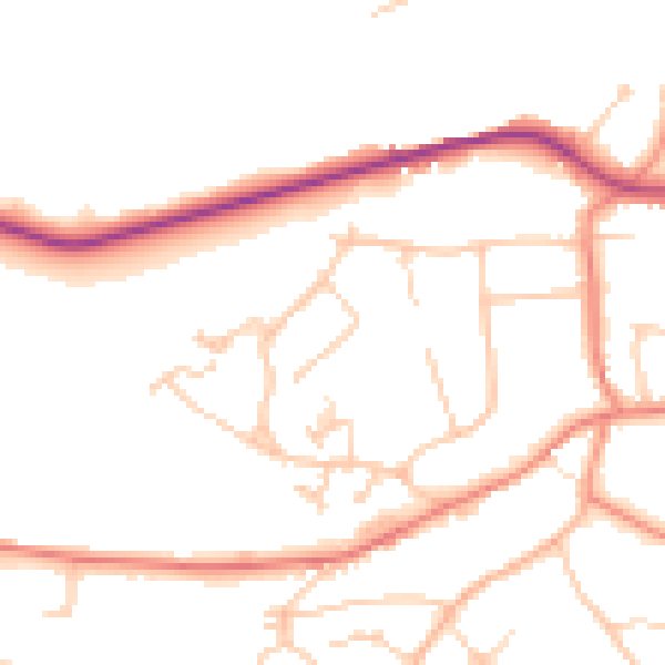
Daytime· 07:00 – 23:00
49.8dB

Night-time· 23:00 – 07:00
40.3dB