Flat 2, 116 Harcourt Road, Sheffield, S10 1DJ
About Flat 2
Flat 2 is a mid-terrace house in Sheffield (S10 1DJ). It has a recorded floor area of 51 m² (around 549 sq ft), construction records dating it to 1900-1929 and council tax band A. At 51 m² this is the 3rd smallest of 5 units on EPC record in the building, where floor areas span 46–53 m². On EPC score it ranks last in the building (71 versus a best of 77). The latest certificate (March 2023) shows a C (score 71). The rating has held steady at C across 2 certificates since April 2012. Between certificates, lighting went from Good to Very Good; while wall efficiency dropped from Good to Very Poor.
At 51 m² it sits well below the postcode median (75 m² across 71 EPCs), making it one of the more compact homes locally.
Everything you need to know about Flat 2
The true value, the hidden risks and the full sale history, in one report.
Pick your report · every report is £14.99
One time fee only - money back guarantee

The data behind every report


Energy performance
EPC Rating
Property Improvements
Changes detected from historical EPC data
More low energy lighting installed
Get a survey for this property
Level 3 Building Survey
Because the property was built before 1919, we believe a Level 3 building survey should be considered.
From £820 · Includes VAT
Planning history
Flat 2 has no planning applications on record.
But the area is active
21 notable applications nearby — larger schemes and conversions that could reshape the street. The report maps them all.
Sales history & valuation
Flat 2 has no Land Registry sales on file, suggesting it has stayed in the same hands since registration began.
£148,000
Modelled from EPC, postcode comparables.
No sales recorded with HM Land Registry
That can mean the property has never traded since the registry began publishing in 1995, was a new build that hasn't been registered yet, or is held in the same hands long-term.
Median price across the last 5 sales in S10 1DJ: £500,000 (2025–2021).
Nearby sales in S10 1DJ
Versus other Harcourt Road homes
EPC Rating
71 (C)
Street avg 72 (C)
Floor Area
51 m²
Street avg 61 m²
CO₂ Emissions
2.2 t/year
Street avg 2.3 t/year
Habitable Rooms
3 rooms
Street avg 3 rooms
Everything you need to know about Flat 2
The true value, the hidden risks and the full sale history, in one report.
Pick your report · every report is £14.99
One time fee only - money back guarantee
The data behind every report
Similar properties nearby
Apartment 1, 11 Marlborough Road
S10 1AR
Apartment 10, 11 Marlborough Road
S10 1AR
Apartment 14, 11 Marlborough Road
S10 1AR
21b, Flat 5, Bates Street
S10 1NP
21b, Flat 6, Bates Street
S10 1NP
21b, Flat 2, Bates Street
S10 1NP
Apartment 2, 11 Marlborough Road
S10 1AR
Apartment 13, 11 Marlborough Road
S10 1AR
The neighbourhood at a glance
Crime
4/mo
Steady year-on-year across the wider district.
Nearest stop
0.1 km
Crookesmoor Road/Barber Road — bus stop.
Closest school
0.5 km
Westways Primary School. 34 schools nearby.
Go deeper on the local area
A Local Area report breaks down crime, transport links, schools and air quality in depth.
Road noise across the postcode
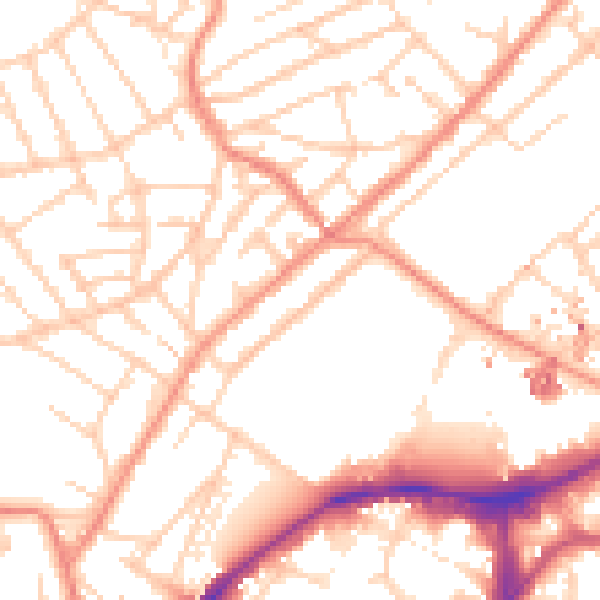
Daytime· 07:00 – 23:00
52.5dB

Night-time· 23:00 – 07:00
41.9dB