Flat 4, 37 Elmore Road, Sheffield, S10 1BY
About Flat 4
Flat 4 is a semi-detached house in Sheffield (S10 1BY). It has a recorded floor area of 50 m² (around 538 sq ft) and construction records dating it to 1900-1929. At 50 m² this is the smallest unit on EPC record across the building (50–61 m²). On EPC score it ranks first in the building (78 versus a worst of 70). The latest certificate (June 2023) shows a C (score 78), near the top of the C band. When first surveyed in June 2016 the rating was D, the property has climbed 1 band since. Between certificates, wall efficiency went from Very Poor to Good, roof efficiency went from Good to Very Good and window efficiency went from Poor to Good.
At 50 m² it's 18.7% smaller than the typical home in the postcode (62 m² median across 40 EPCs).
Everything you need to know about Flat 4
The true value, the hidden risks and the full sale history, in one report.
Pick your report · every report is £14.99
One time fee only - money back guarantee

The data behind every report


Energy performance
Flat 4's carbon output is low for the local stock.
EPC Rating
Property Improvements
Changes detected from historical EPC data
Heating controls upgraded for better temperature management
Window efficiency improved
Wall insulation improved
Loft insulation upgraded to recommended levels
Get a survey for this property
Level 3 Building Survey
Because the property was built before 1919, we believe a Level 3 building survey should be considered.
From £820 · Includes VAT
Planning history
Flat 4 has no planning applications on record.
But the area is active
21 notable applications nearby — larger schemes and conversions that could reshape the street. The report maps them all.
Sales history & valuation
Flat 4 has no Land Registry sales on file, suggesting it has stayed in the same hands since registration began.
£167,000
Modelled from EPC, postcode comparables.
No sales recorded with HM Land Registry
That can mean the property has never traded since the registry began publishing in 1995, was a new build that hasn't been registered yet, or is held in the same hands long-term.
Median price across the last 5 sales in S10 1BY: £526,500 (2024–2008).
Nearby sales in S10 1BY
Versus other Elmore Road homes
Flat 4 outperforms the street on epc rating by a wide margin.
EPC Rating
78 (C)
Street avg 70 (C)
Floor Area
50 m²
Street avg 48 m²
CO₂ Emissions
1.4 t/year
Street avg 2.6 t/year
Habitable Rooms
2 rooms
Street avg 2 rooms
Everything you need to know about Flat 4
The true value, the hidden risks and the full sale history, in one report.
Pick your report · every report is £14.99
One time fee only - money back guarantee
The data behind every report
Similar properties nearby
21b, Flat 7, Bates Street
S10 1NP
Apartment 1, 73 Longfield Road
S10 1QW
102a, Flat 1, Harcourt Road
S10 1DJ
Apartment 13, 11 Marlborough Road
S10 1AR
Apartment 2, 73 Longfield Road
S10 1QW
Apartment 2, 11 Marlborough Road
S10 1AR
21b, Flat 4, Bates Street
S10 1NP
21b, Flat 2, Bates Street
S10 1NP
The neighbourhood at a glance
Crime
4/mo
Steady year-on-year across the wider district.
Nearest stop
0.2 km
Crookesmoor Road/Crookes Road — bus stop.
Closest school
0.3 km
Broomhill Infant School. 35 schools nearby.
Go deeper on the local area
A Local Area report breaks down crime, transport links, schools and air quality in depth.
Road noise across the postcode
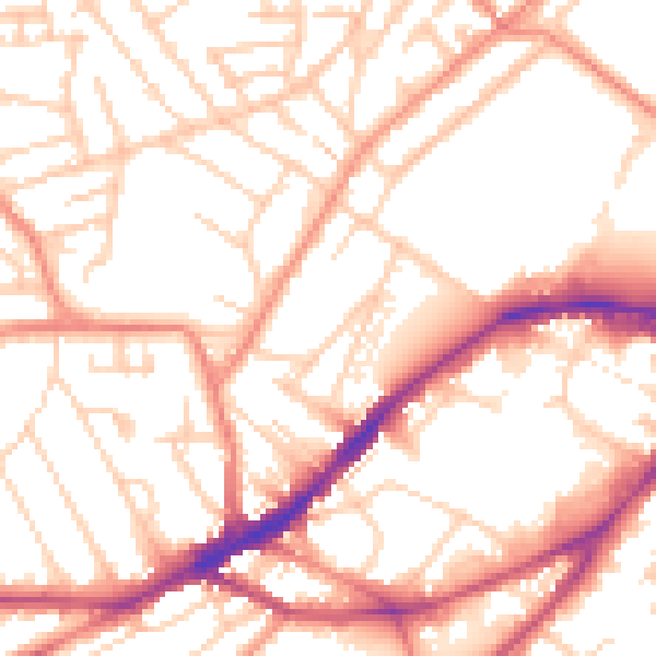
Daytime· 07:00 – 23:00
53.3dB

Night-time· 23:00 – 07:00
43.0dB