42b, Linden Street, Romford, RM7 7DP
About 42b
42b is a semi-detached house in Romford (RM7 7DP). It has a recorded floor area of 39 m² (around 420 sq ft), construction records dating it to 1967-1975 and council tax band B. At 39 m² this is the 5th smallest of 34 units on EPC record in the building, where floor areas span 34–217 m². The building's EPC ratings span E to C across 34 units on file. The latest certificate (March 2021) shows a D (score 67), on the cusp of jumping into the C band. The recommended improvements would push it to C (score 73).
At 39 m² it sits well below the postcode median (117 m² across 33 EPCs), making it one of the more compact homes locally. Across 1996–2023, sale prices on this property compounded at 6.6% per year. On a £-per-square-foot basis, the last sale (£488/sq ft) was about 145.3% above the typical sold price in the postcode. Sold September 2023 for £205,000.
Everything you need to know about 42b
The true value, the hidden risks and the full sale history, in one report.
30-day money-back guarantee

The data behind every report


Energy performance
EPC Rating
Planning history
42b has no planning applications on record.
Notable planning nearby
12applications of note in the surrounding area
We flagged 1 thing worth checking at 42b
Independent checks surfaced things a buyer would want to understand before offering. The report explains each one in full, with the underlying data and what to ask.
- Signs of HMO activity in the area
30-day money-back guarantee
Sales history & valuation
42b has more than quadrupled in price since its earliest registered sale in 1996.
£195,000
Modelled from EPC, postcode comparables and a sale-price growth of 6.6% per year over 27 years.
£205,000
Growth on file: 6.6% per year over 27 years.
Sales timeline
25 September 2023Most recent
£205,000
+87.2%over 18 years6 September 2005
£109,500
+204.2%over 9 years4 July 1996
£36,000
Median price across the last 5 sales in RM7 7DP: £595,000 (2025–2024).
Versus other Linden Street homes
Price per m² for 42b runs comfortably ahead of the street norm.
Price per m²
£5,256
Street avg £2,899
Floor Area
39 m²
Street avg 59 m²
Habitable Rooms
2 rooms
Street avg 3 rooms
CO₂ Emissions
1.9 t/year
Street avg 3.1 t/year
Everything you need to know about 42b
The true value, the hidden risks and the full sale history, in one report.
30-day money-back guarantee
The data behind every report
Similar properties nearby
1 Holland Close
RM7 7RN
1 Barkwood Close
RM7 7AG
10 Barkwood Close
RM7 7AG
1 Brooklands Close
RM7 7ES
1 Queenside Court, Mawney Road
RM7 7BG
1 St Georges Court, Poplar Street
RM7 7JG
1 Romside Place
RM7 7EE
1 Cedar Close
RM7 7JL
The neighbourhood at a glance
Rail-style transport is unusually close for this postcode.
Crime
7/mo
Rising year-on-year across the wider district.
Nearest stop
0.1 km
North Street Romford — bus stop.
Closest school
0.2 km
The Mawney Foundation School. 35 schools nearby.
Go deeper on the local area
The full report breaks down crime, transport links, schools and air quality in depth.
Road noise across the postcode
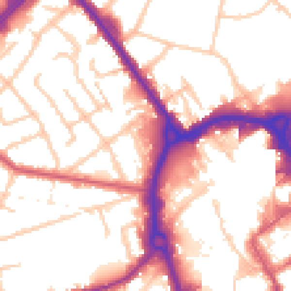
Daytime· 07:00 – 23:00
54.5dB
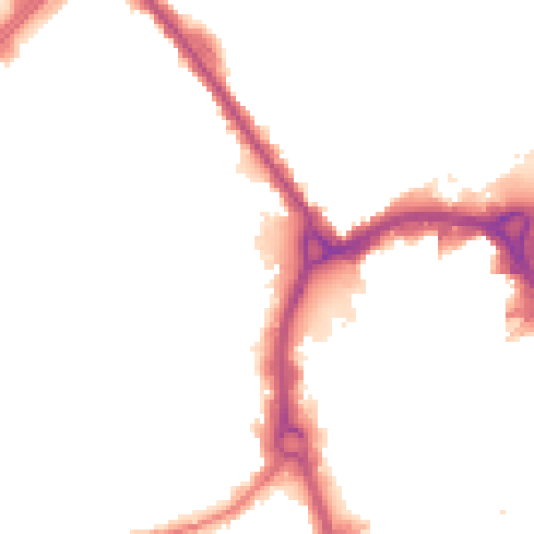
Night-time· 23:00 – 07:00
45.9dB